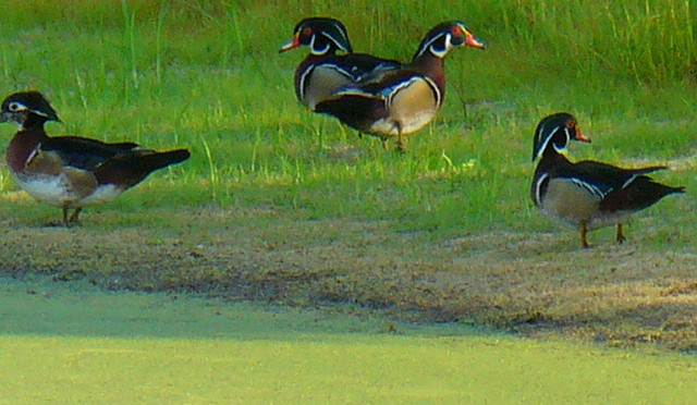
When I arrived in Florida, the first long ride I tried was from my home in Lakewood Ranch out to The Emerson Point Preserve in Palmetto. I reported that ride here on The Recumbent Gourmet.
At the time (May), the weather was really hot, and I didn’t have enough time at The Preserve before I had to turn back for home. So yesterday, I decided to repeat that ride, and explore the place in more detail. Boy, am I glad I went back! The place is much larger, and much prettier, then I thought after my first visit.
The ride begins as many of my rides here do. I travel north through some local neighborhood streets to Lakewood Ranch Road, then continue north to State Road 64. I learned a few new tricks since the ride last May however. I’ve learned that I can avoid about a half a mile of SR64, if I take the little sidewalk that drops behind the Haile Middle School and leads me into the Heritage Harbour development.
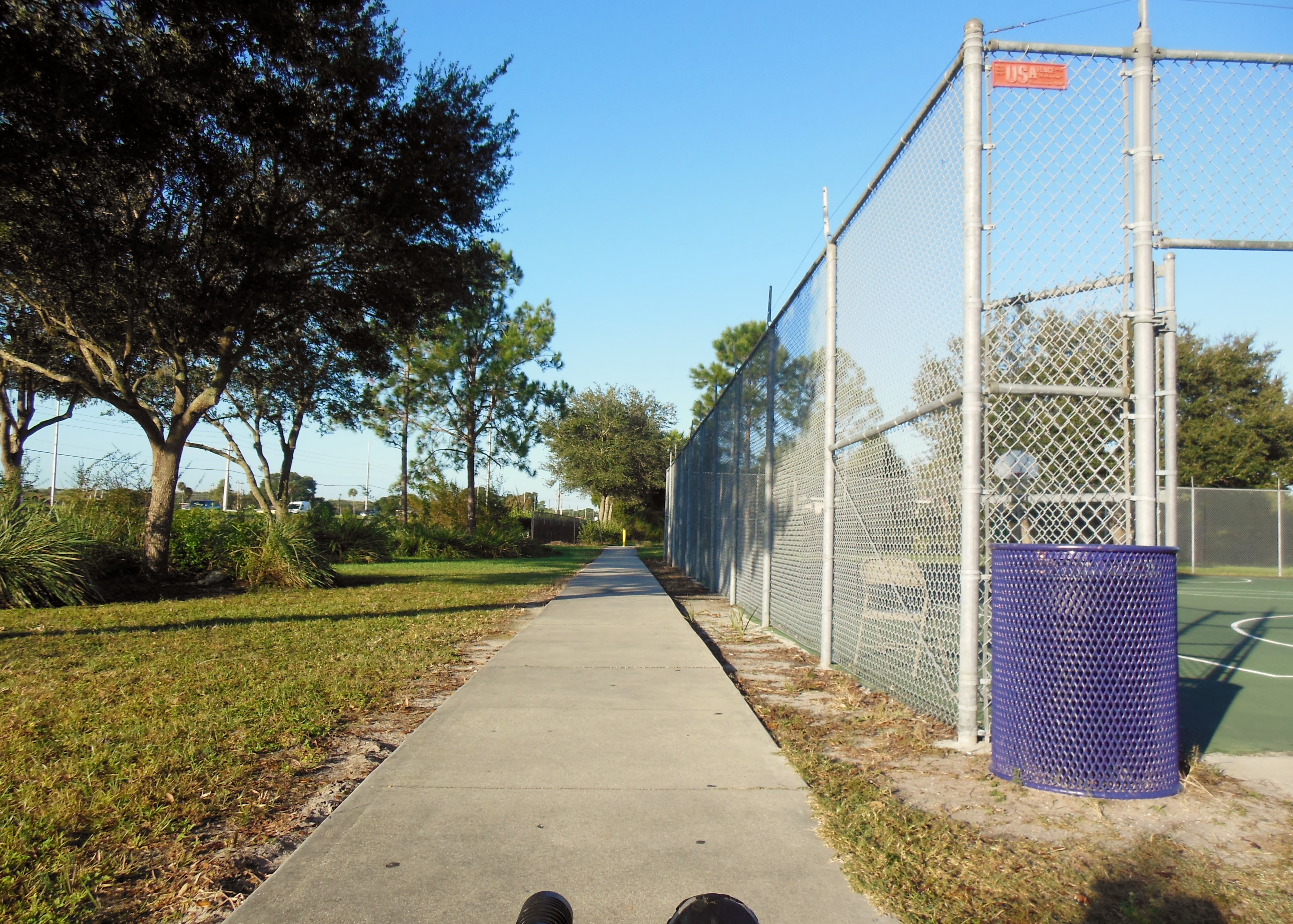
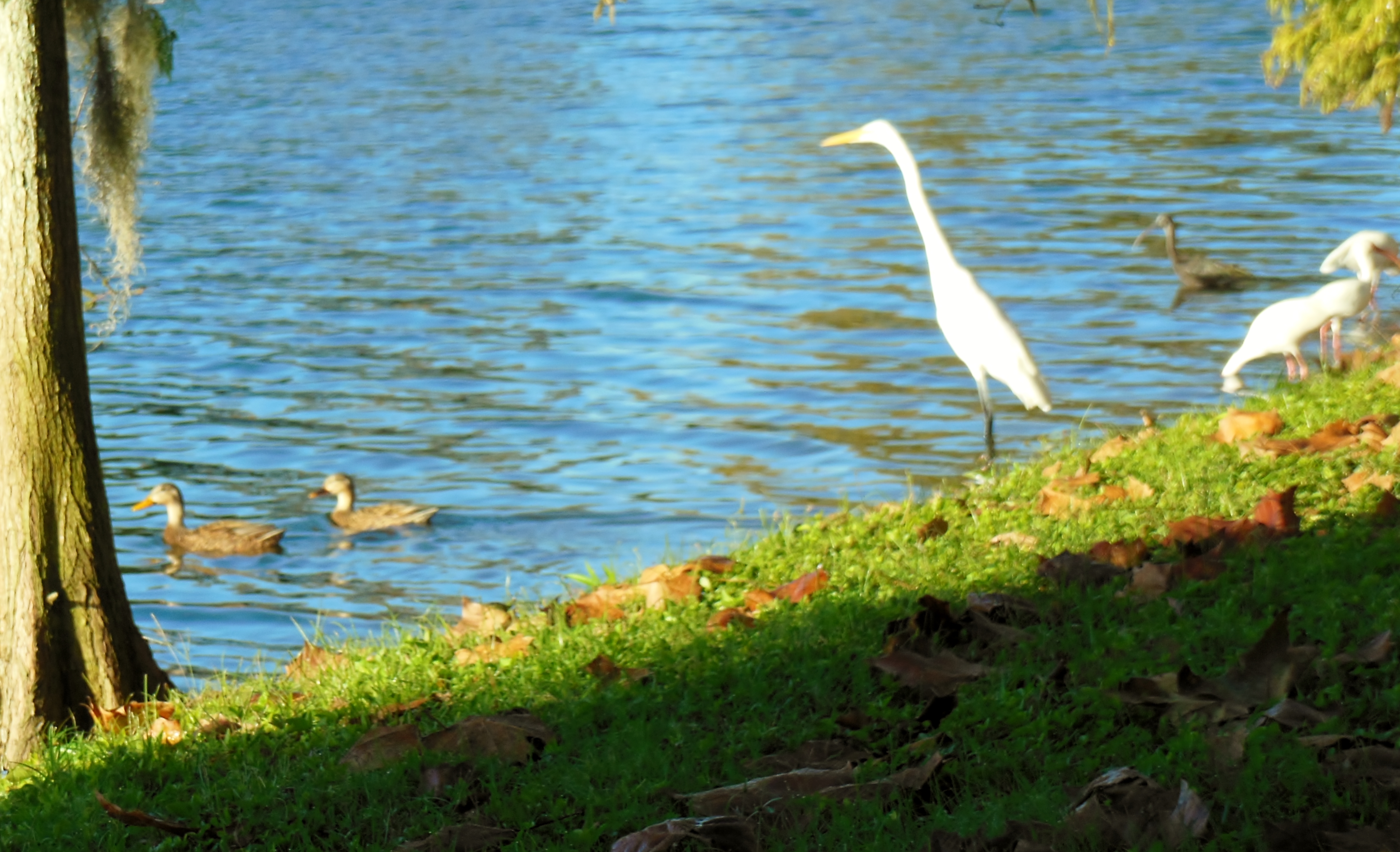
The ride then takes me around the lake in Heritage Harbor. This has become one of my most common ride segments. It’s a very pretty lake with a nice bike trail all the way around it, it connects with route segments that can take to a variety of places, and it’s home to a least two alligators. I can usually spot an alligator when I ride past the lake, but not today. Today I only see water birds and a few other cyclists out enjoying the cool weather.
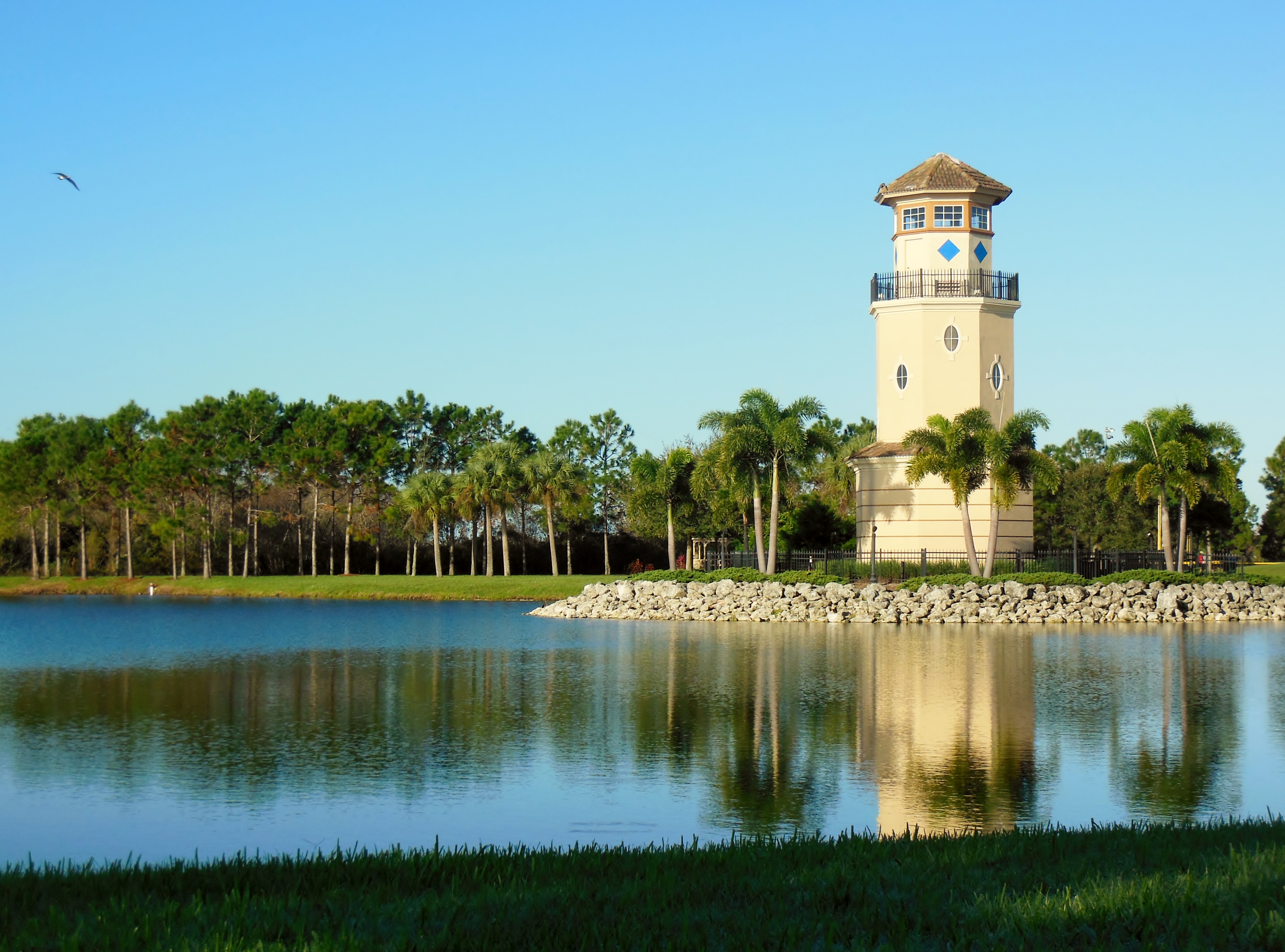
On the other side of Heritage Harbor I find my way to Kay Road. This is a great place to cross the I75 freeway – no exchange and a nice wide bike lane makes for a stress-free freeway on a bicycle. Just on the other side of the freeway I make a quick rights and enter the Tom Bennett Park.
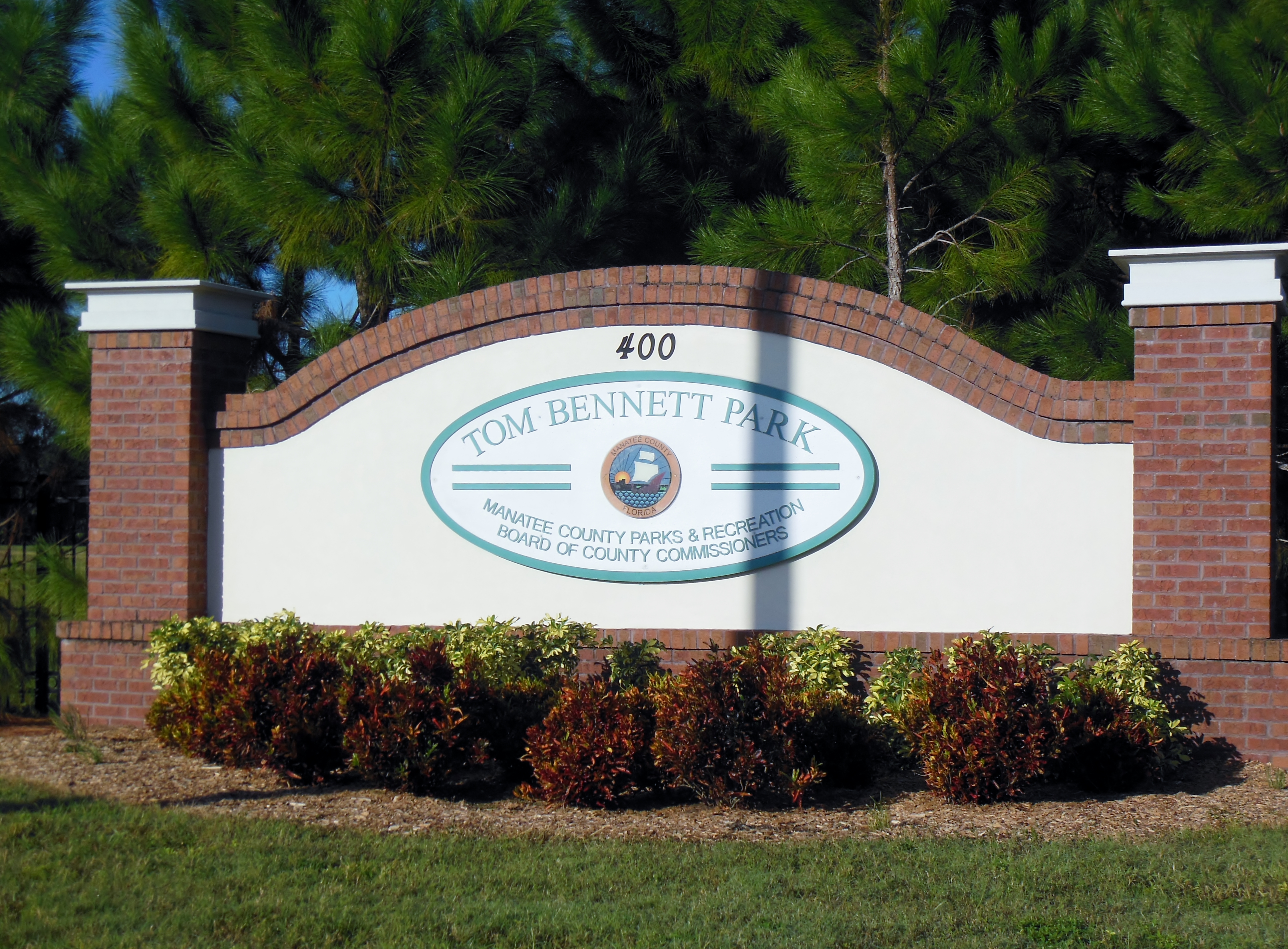
There isn’t much to Bennett Park – it’s got a small lake with a bike trail around it, and a gravel road that leads to a canoe launch on the Manatee River. I ordinarily would not bother with it, except it does contain that most elusive of all necessary things here in SW Florida – A public restroom!
After leaving the park, my route takes me back to SR64. Unfortunately, I have not yet found a way (and I’m pretty sure no way exists), to avoid about 3 miles of this busy road. Today, I’m here on a weekday and it’s about an hour past morning rush hour, so the traffic is not bad. There is an OK bike lane, so I’ve ridden on much less bike-friendly roads. Still, If I could avoid sharing the road with trucks going 60 MPH I would.
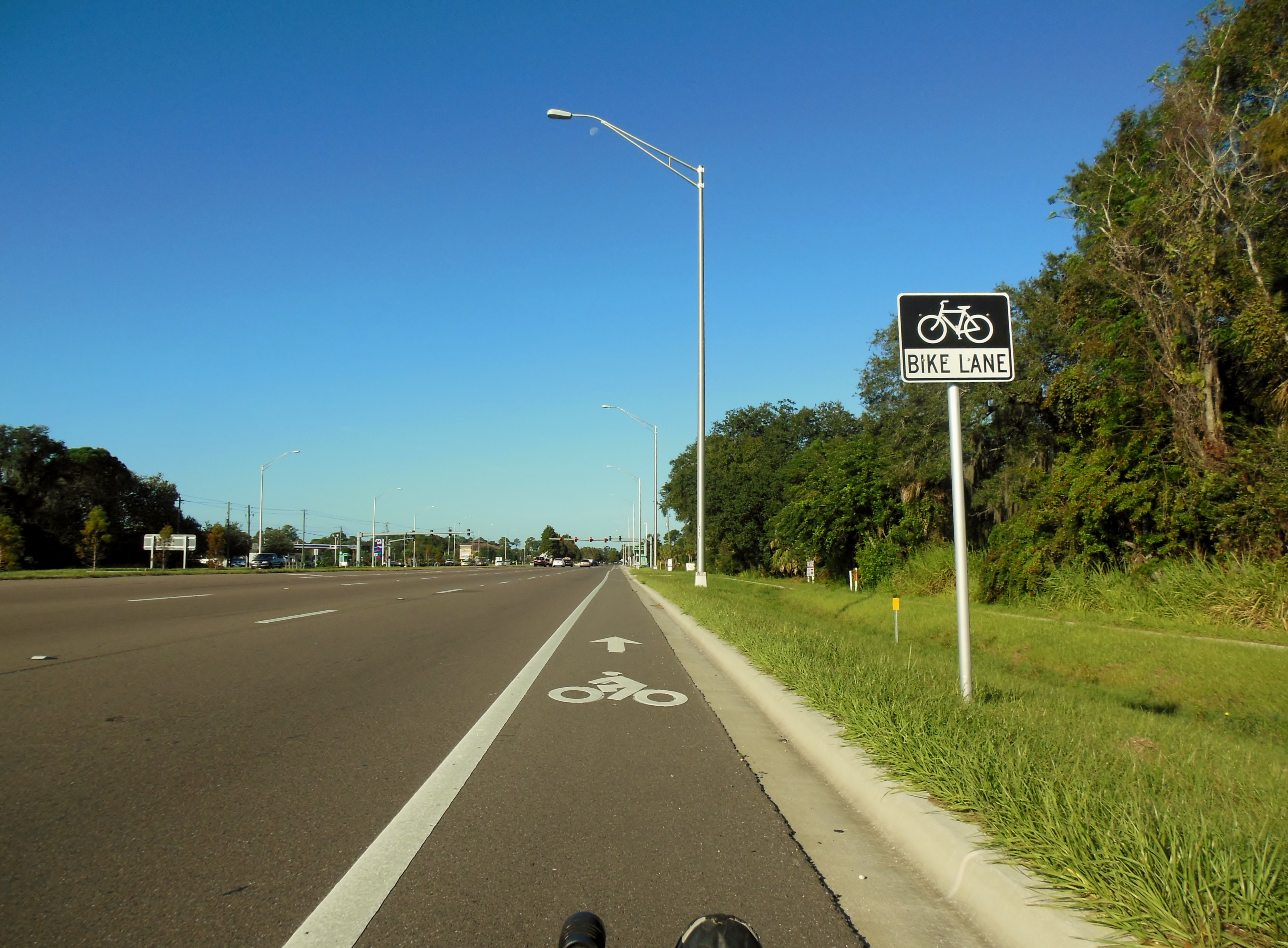
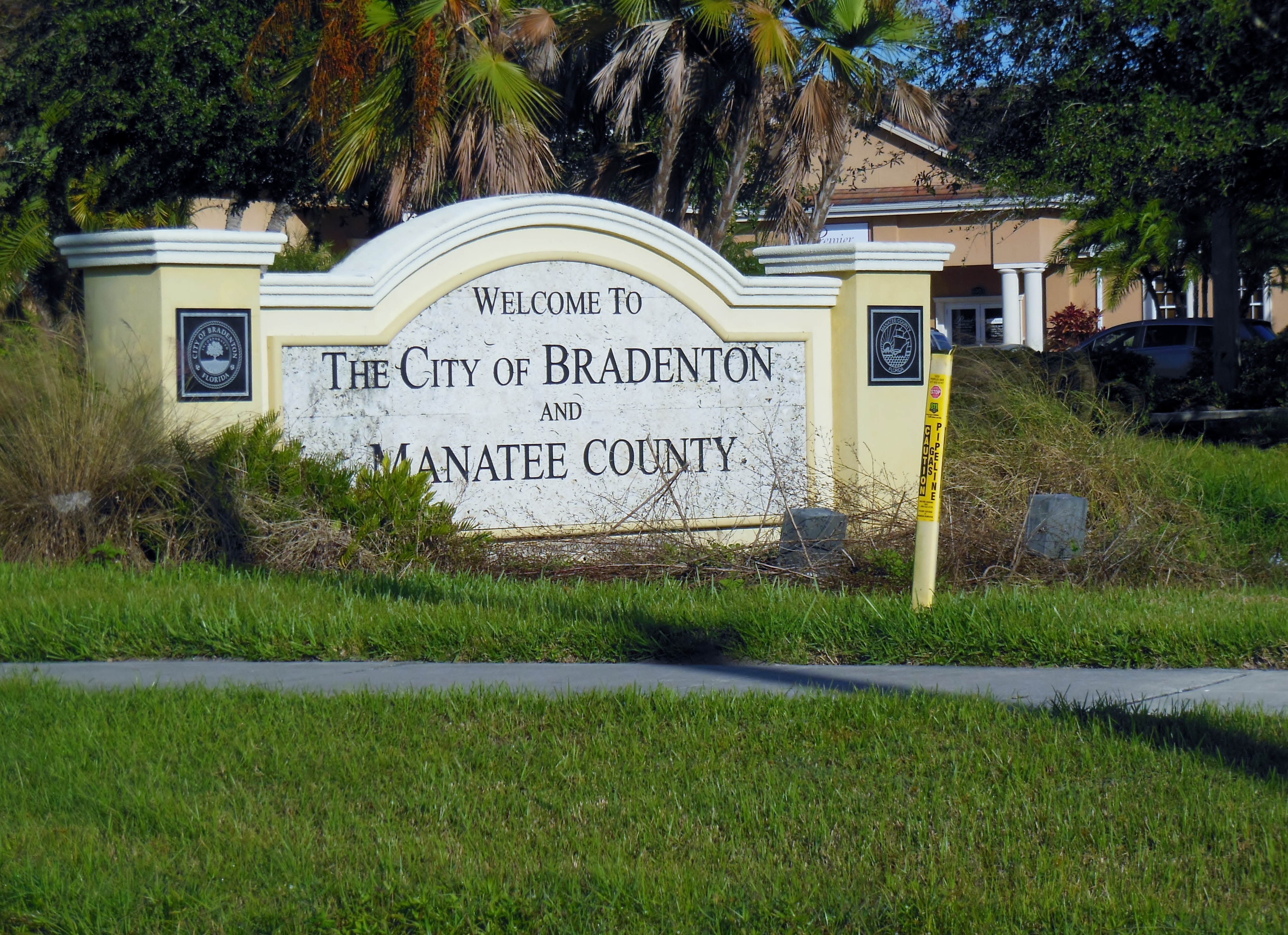
Another mile or so on SR64 brings me the first glimpse of the Manatee River. It’s been there all along, just out of sight in Bennett Park and a few blocks north of me as I travel along SR64. The river shapes the nature of most rides in this area. There are lots of tributaries and inlets and only a few bridges. Eventually all rides need to cross the river on one the few river crossings. SR64 has bridges that cross the Braden River where it branches away from the Manatee River, and that’s why there really is no alternative route to get west into Bradenton.
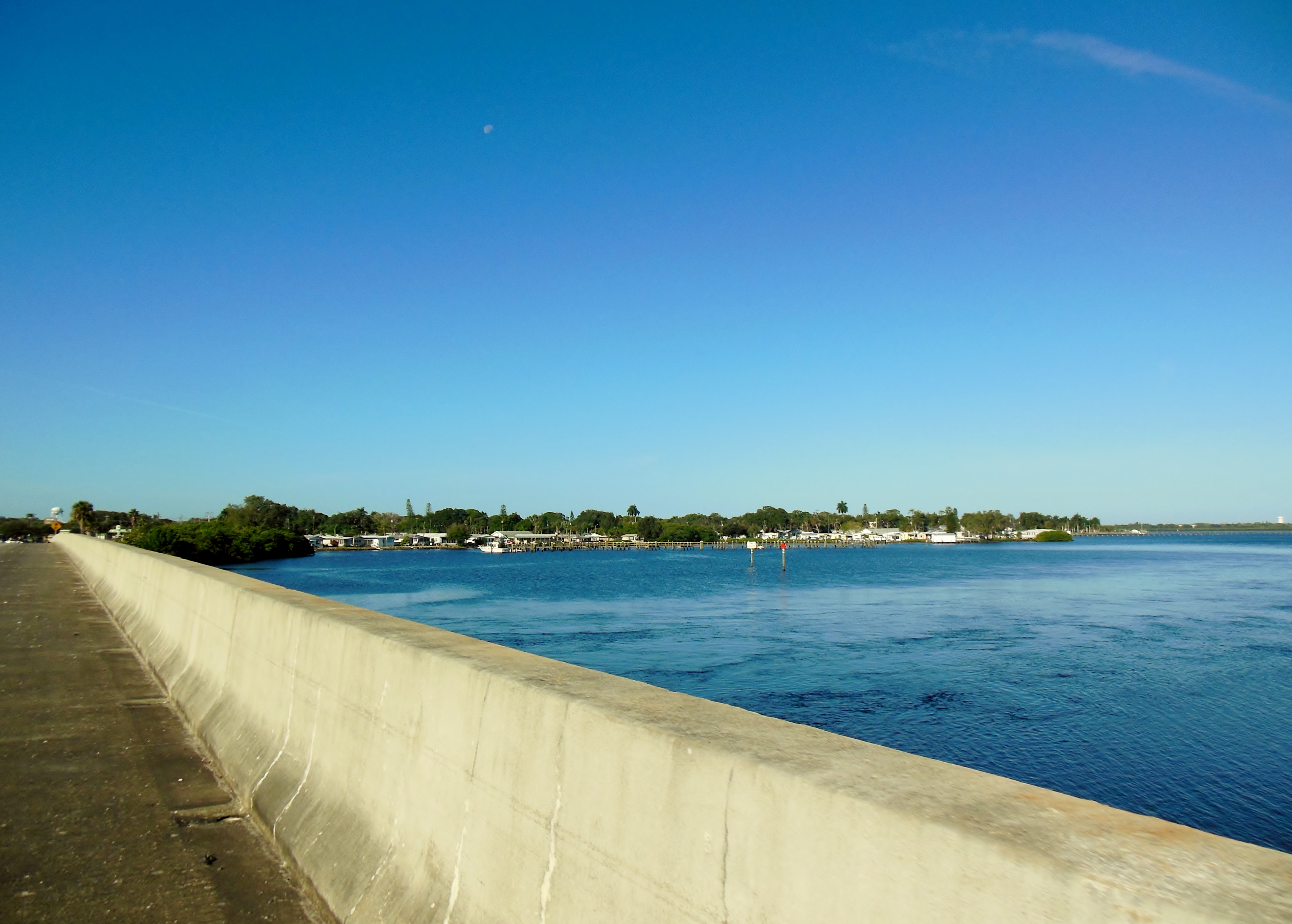
Not much further west, it is possible to turn off of SR64 into the neighborhood streets of East Bradenton. This takes me along the south shore of the Manatee River, and I can catch tantalizing glimpses of the water and even a few nice views, then continue west toward downtown Bradenton
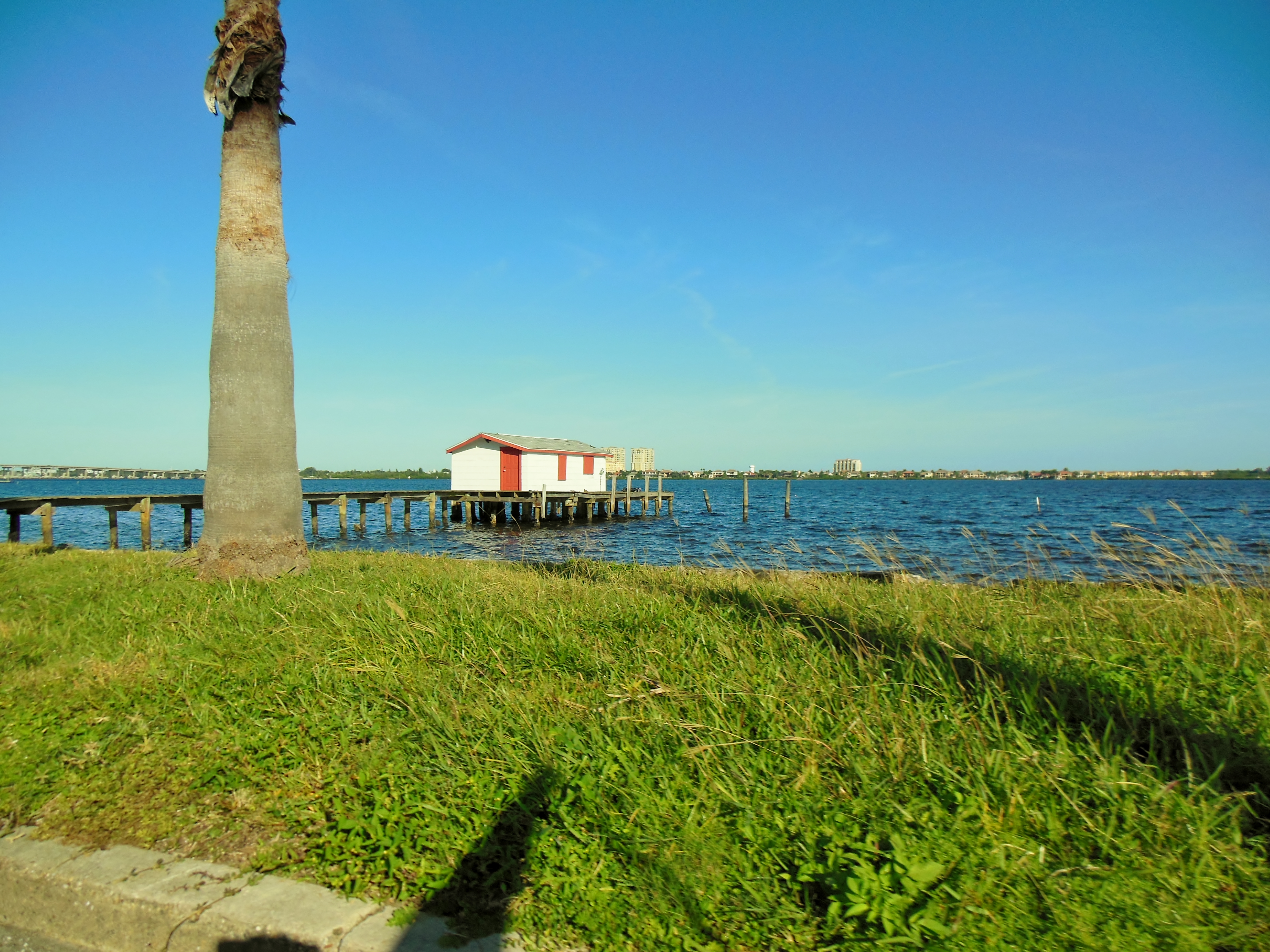
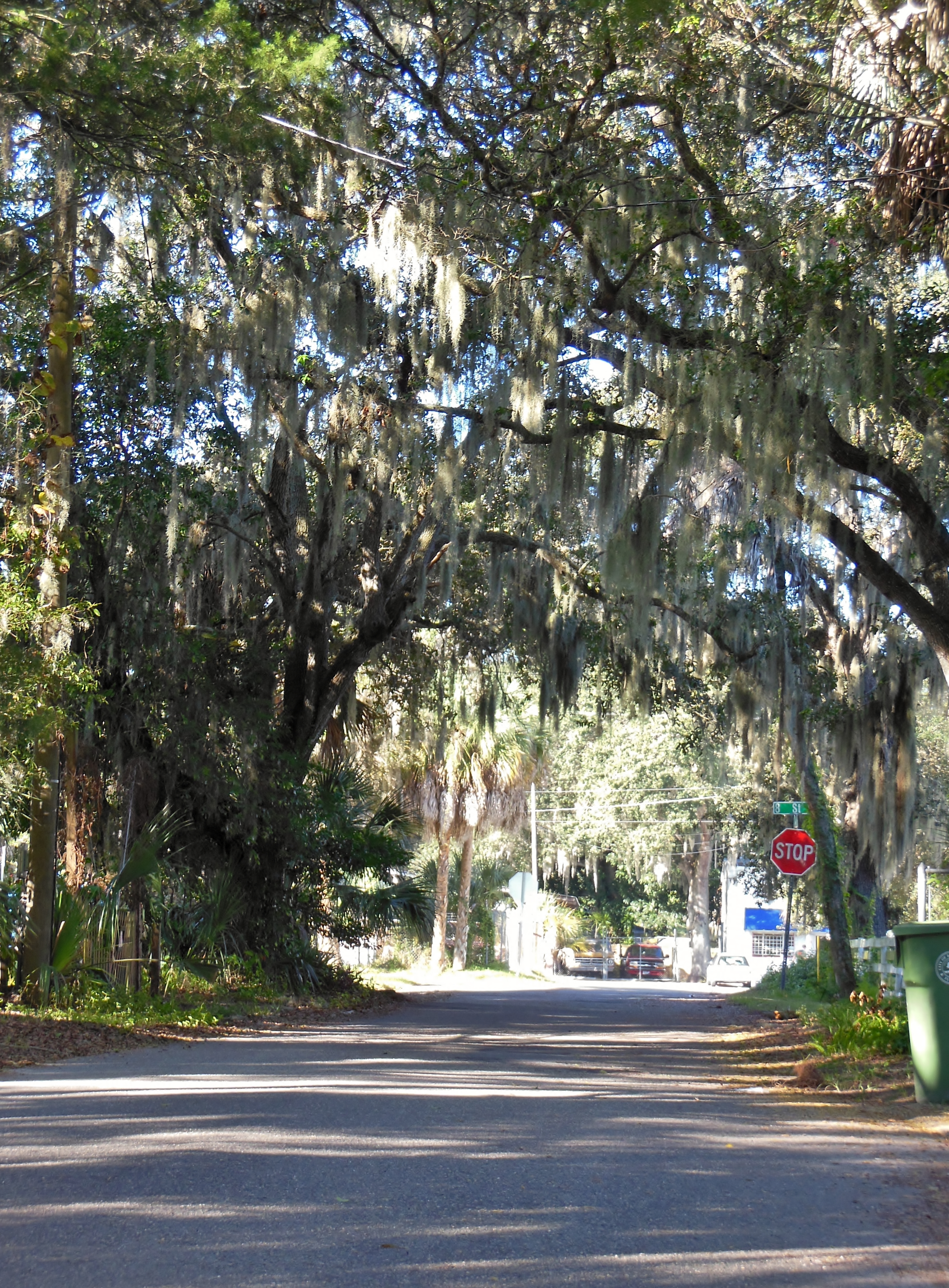
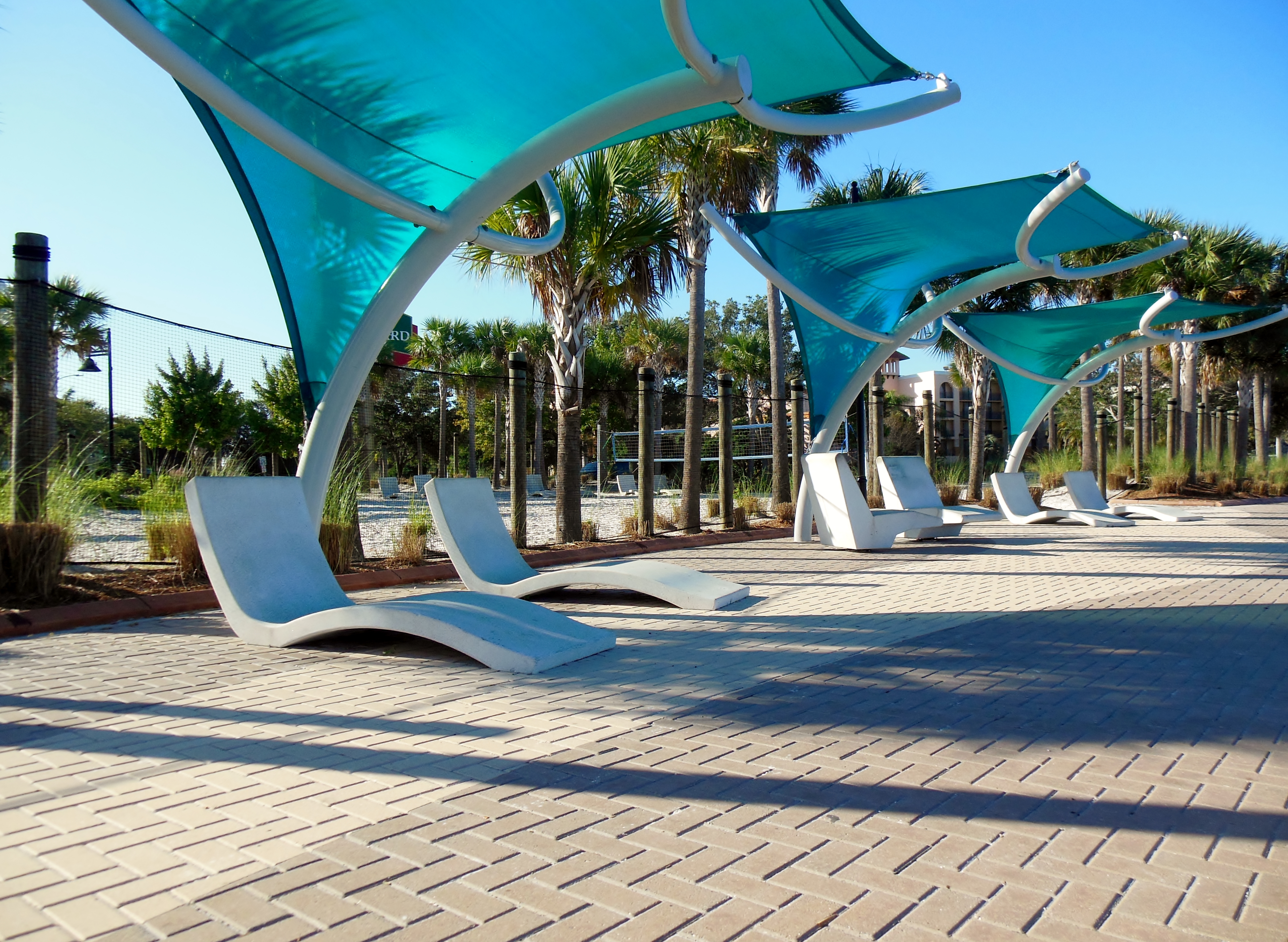
I follow the river west to The Bradenton Riverwalk. This is a 1.5 mile long park directly on the shore of the Manatee River, through the heart of downtown Bradenton. There is something for everybody – a skate park, a canoe and kayak launch, an amphitheater and playgrounds with a water splashpad to play in. Also – yes that’s right – a public restroom!
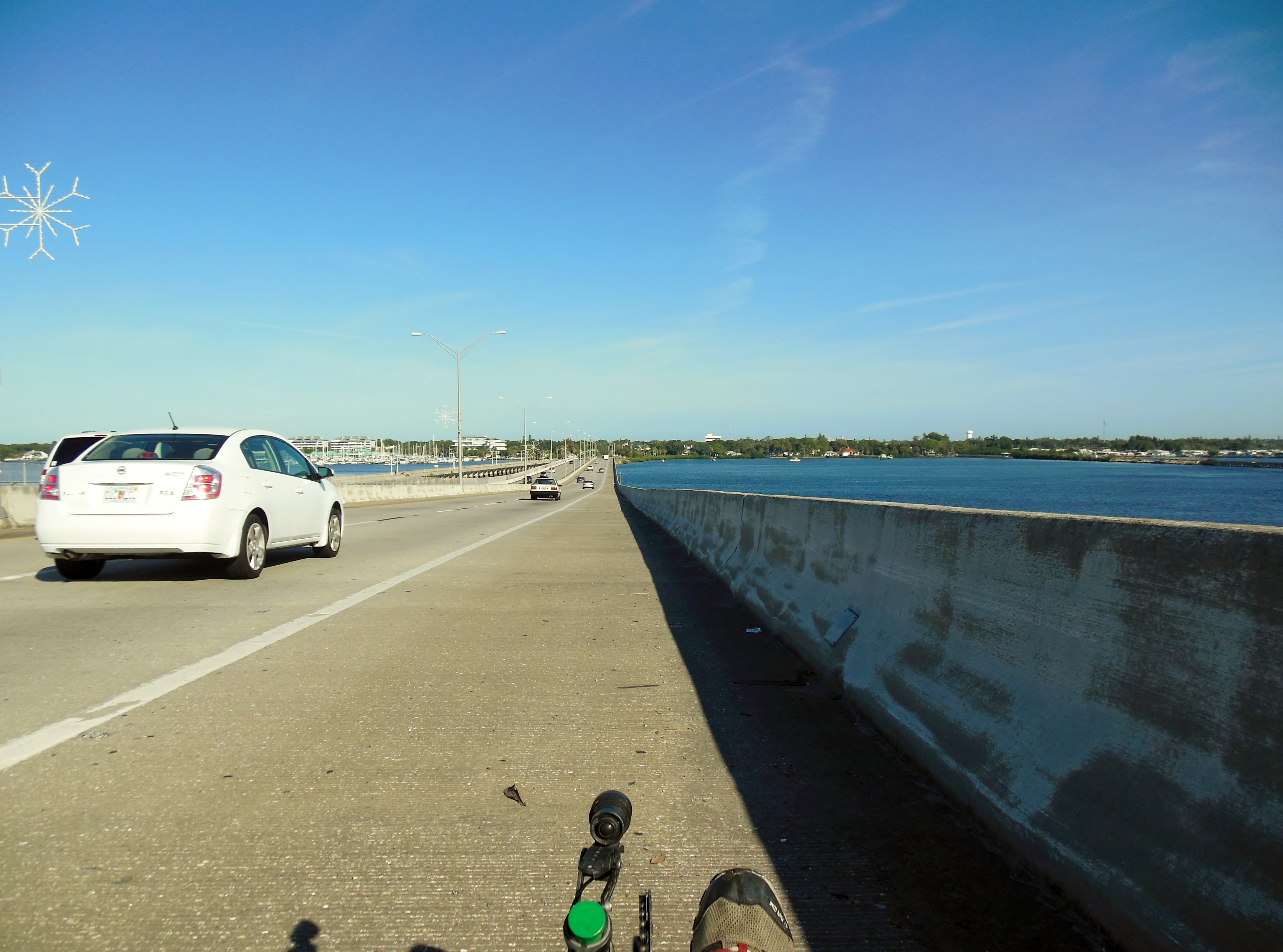
Directly across the Manatee River from Bradenton lies the town of Palmetto. To get there, I need to cross the river. The best way to do this on a bike is to use The Green Bridge, that links downtown Palmetto to downtown Bradenton. It’s directly accessible from the Riverwalk, and it has a huge bike lane that make crossing here very low stress. I’m not sure why it’s called the Green Bridge, it’s not green. I think somebody named Green was instrumental in its history. It has been there a long time – it got replaced a while back, and part of the original structure remains as a fishing pier that the locals use frequently.
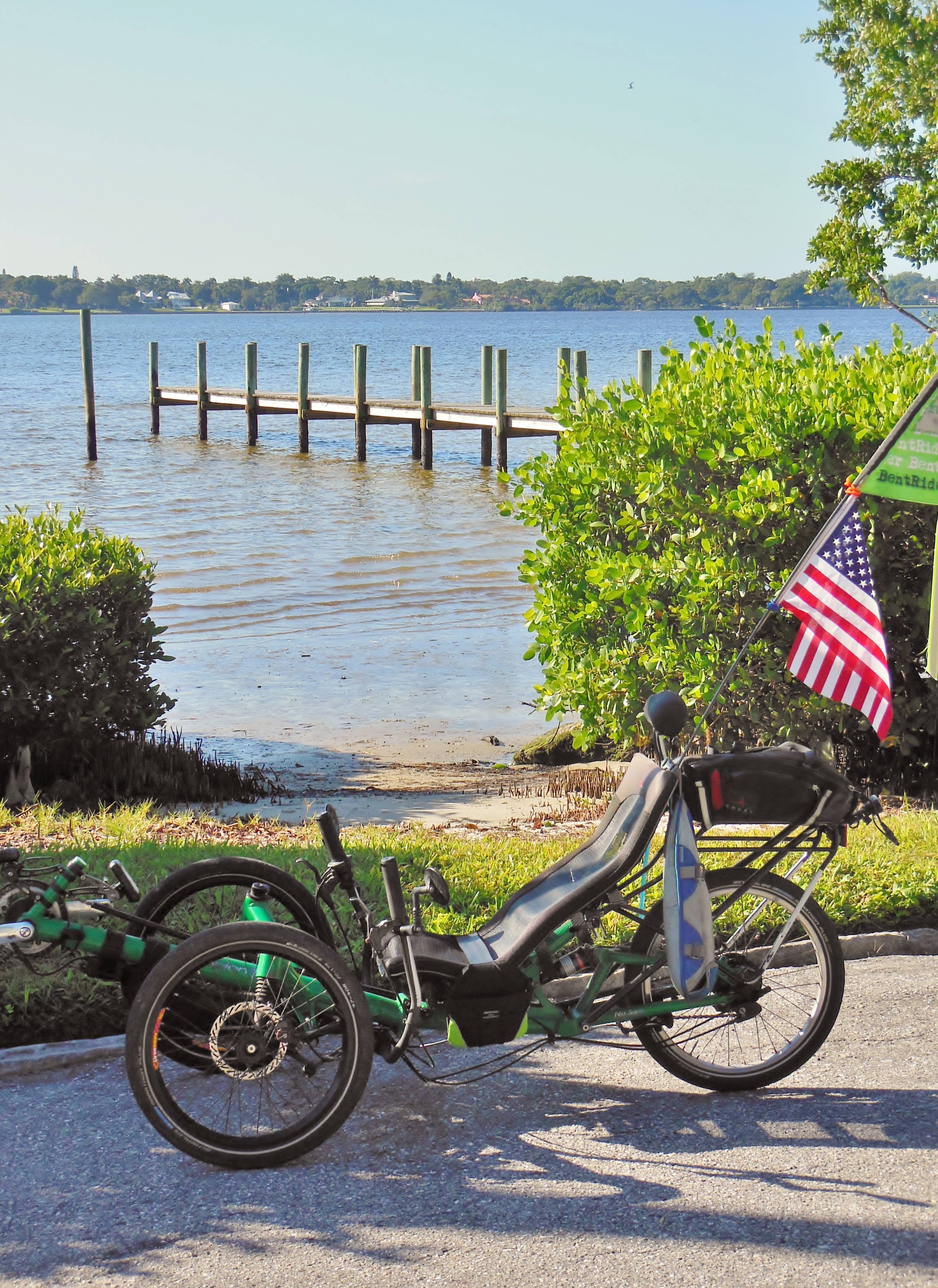
Once over the river, I turn west once again and pedal my way through Palmetto. I’m now on the north shore of the river, so the water is on my left as I cruise through quiet residential street and shady lanes.
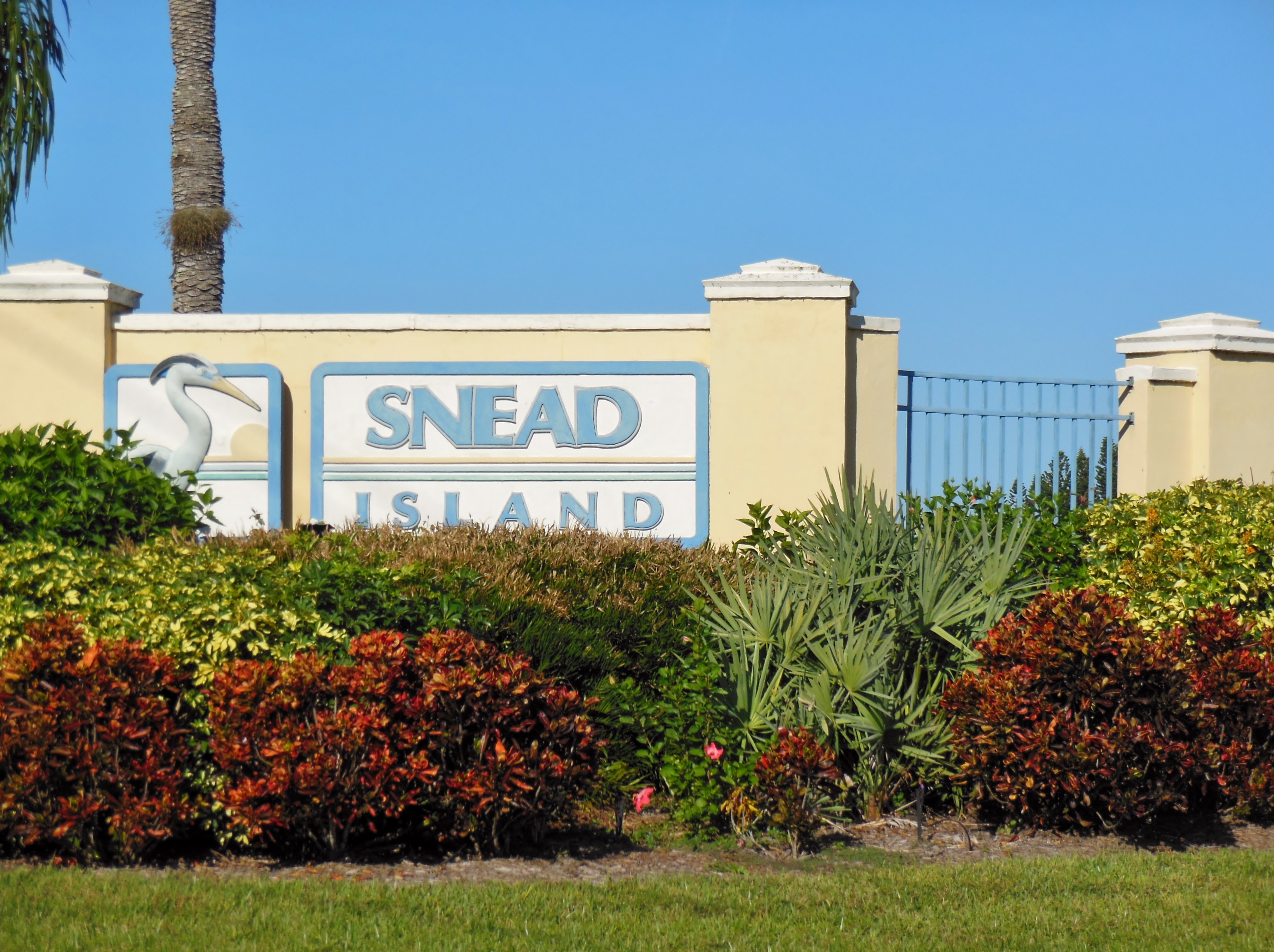
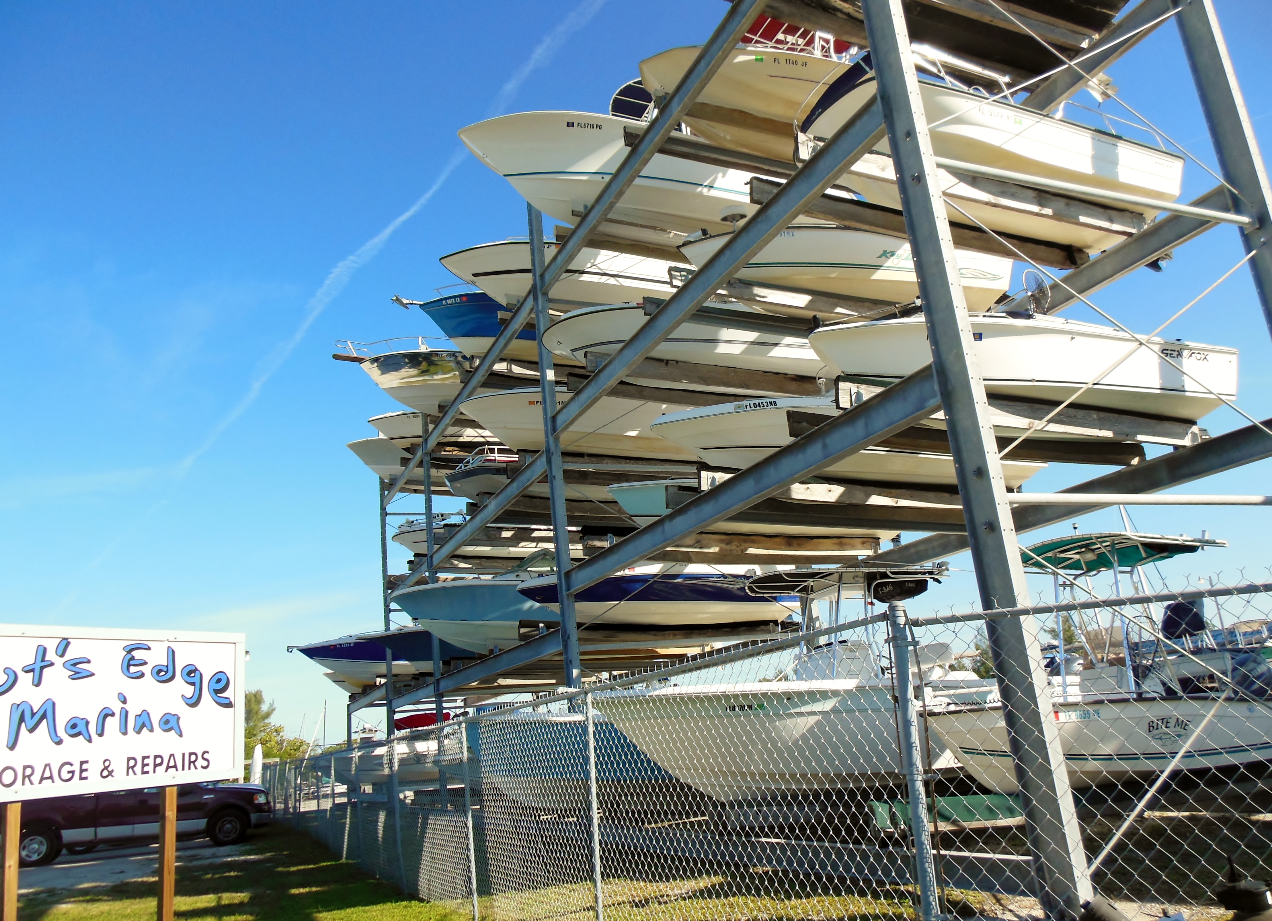
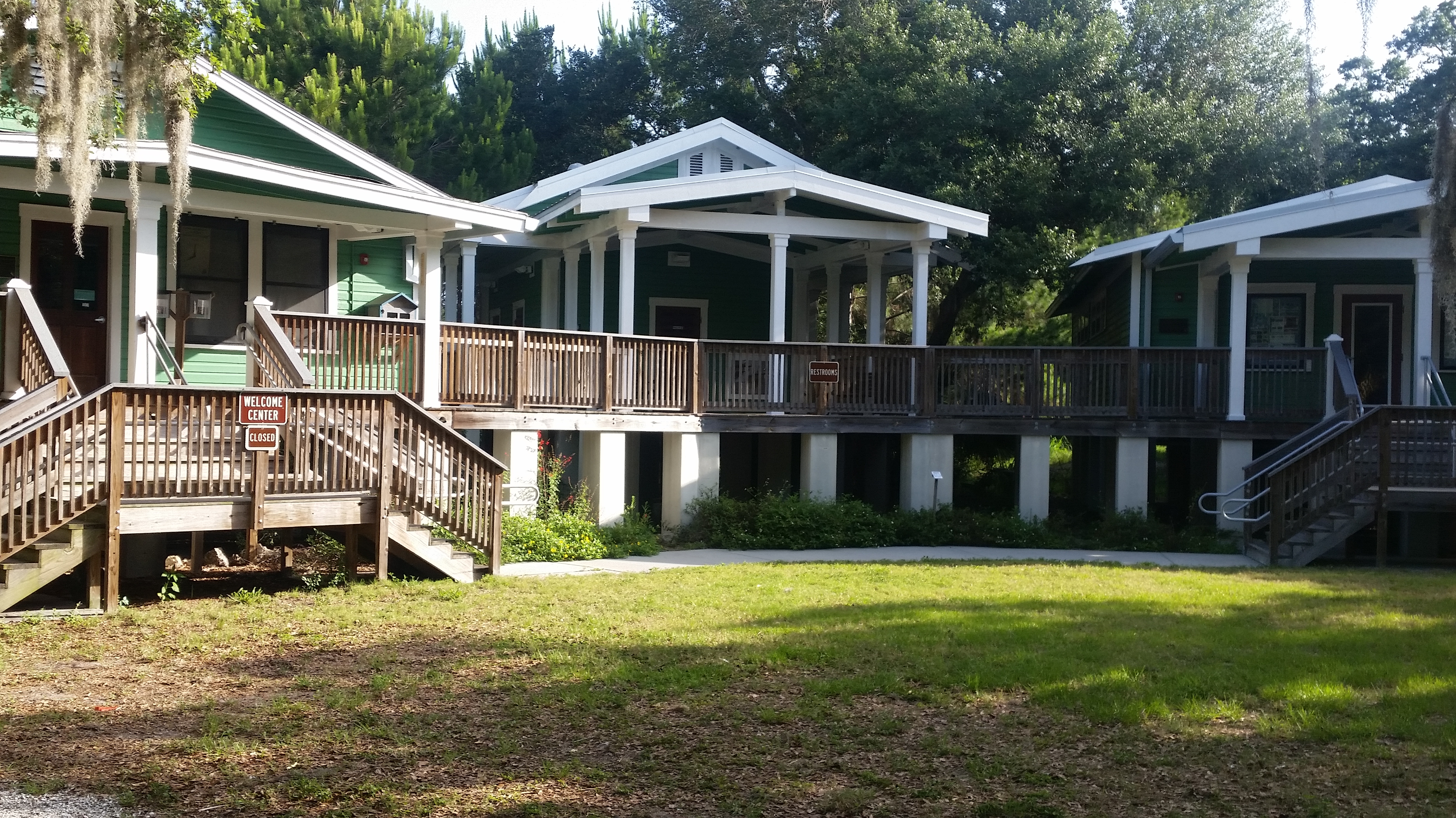
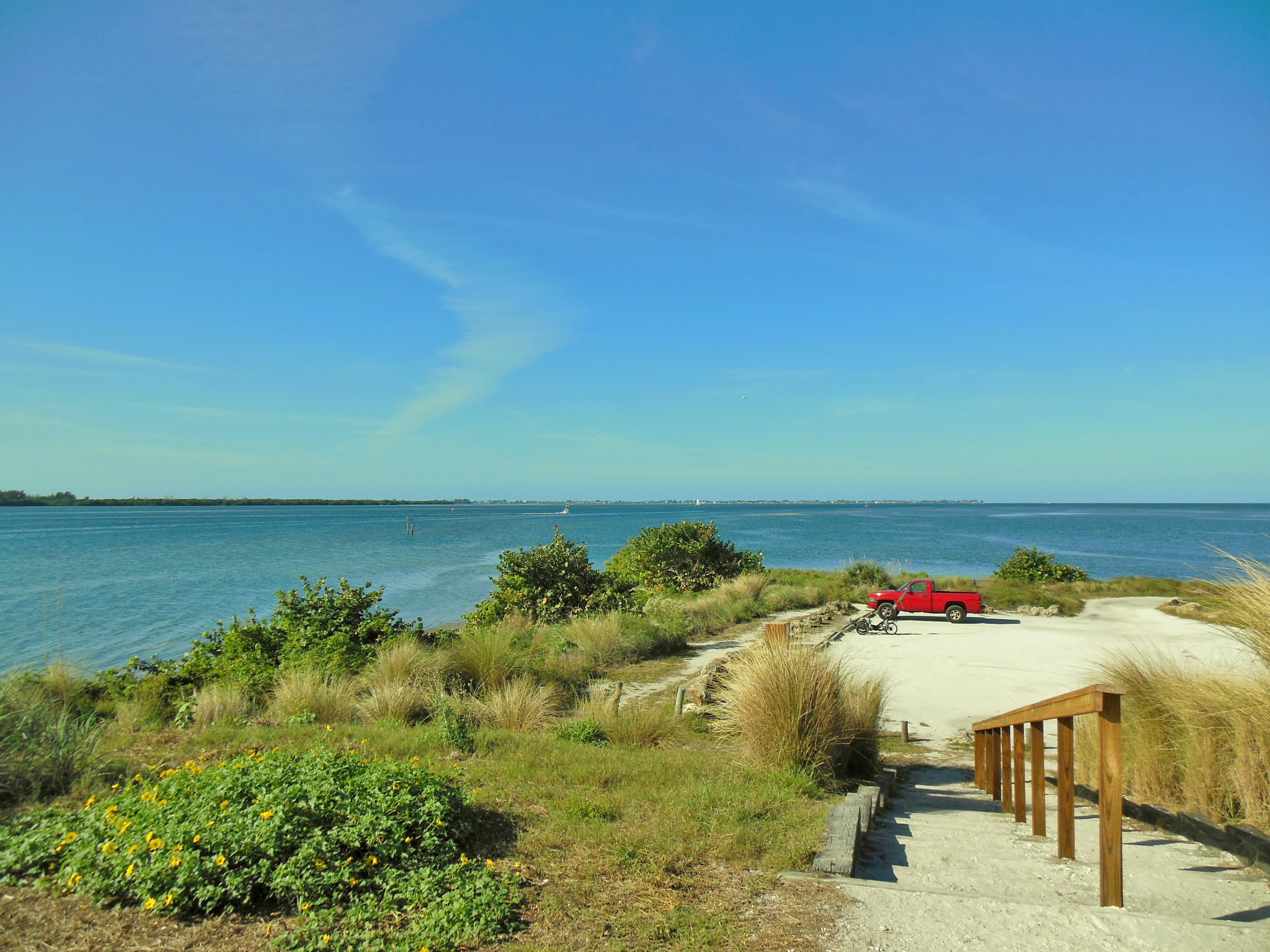
Snead Island lies just west of Palmetto. This island is home to the 365+ acre Emerson Point Preserve. I ride past a couple of marinas, and a few big houses before finding the entrance to The Preserve.
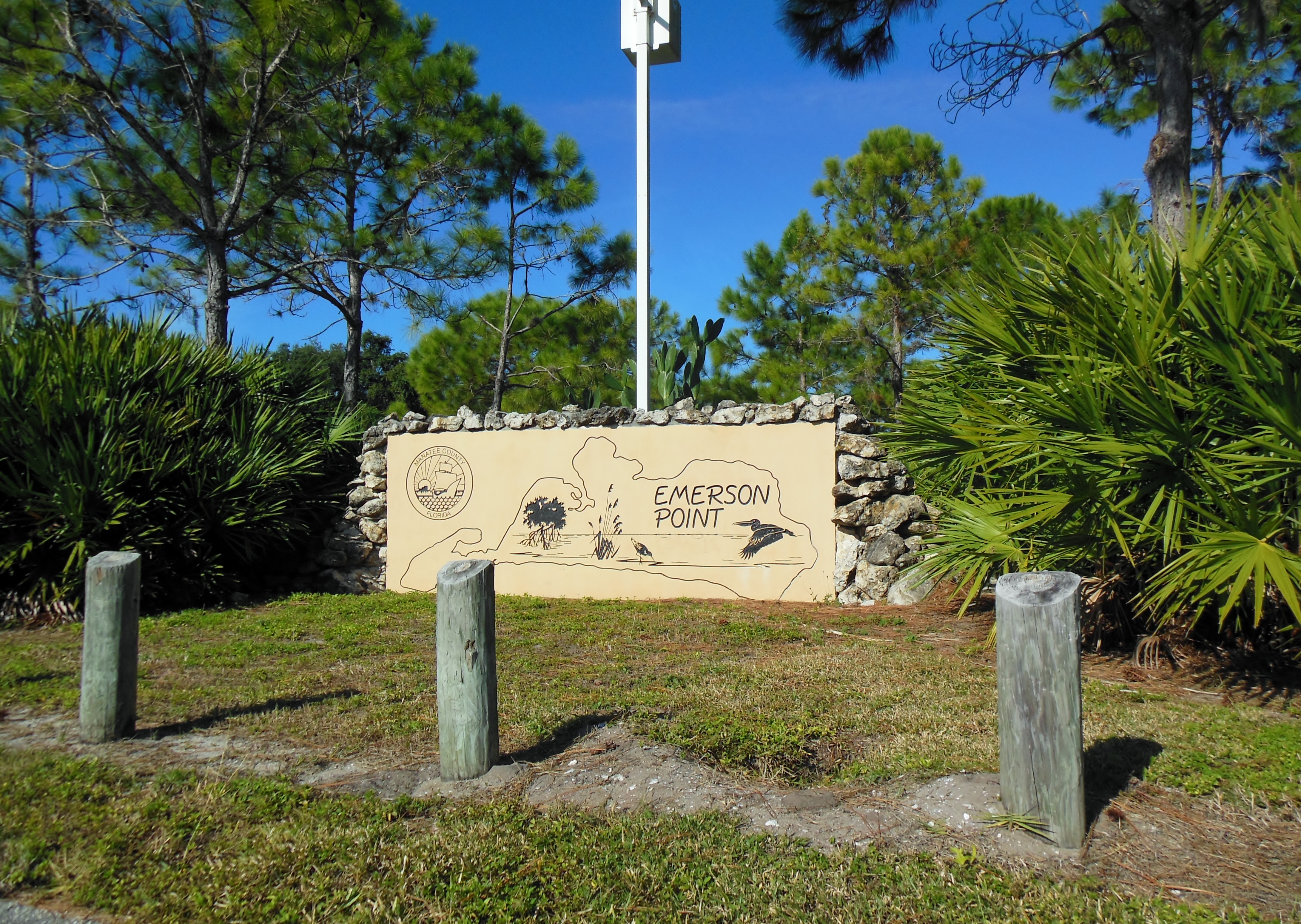
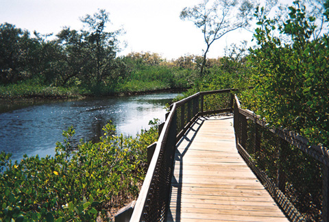
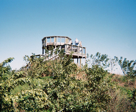
Emerson Point forms the western tip of Snead Island. It is located where the Manatee River empties into the Tampa Bay and the Gulf of Mexico. The preserve is home to the Portavant Temple Mound, southwest Florida’s largest Native American Temple Mound, built in the 1200’s.
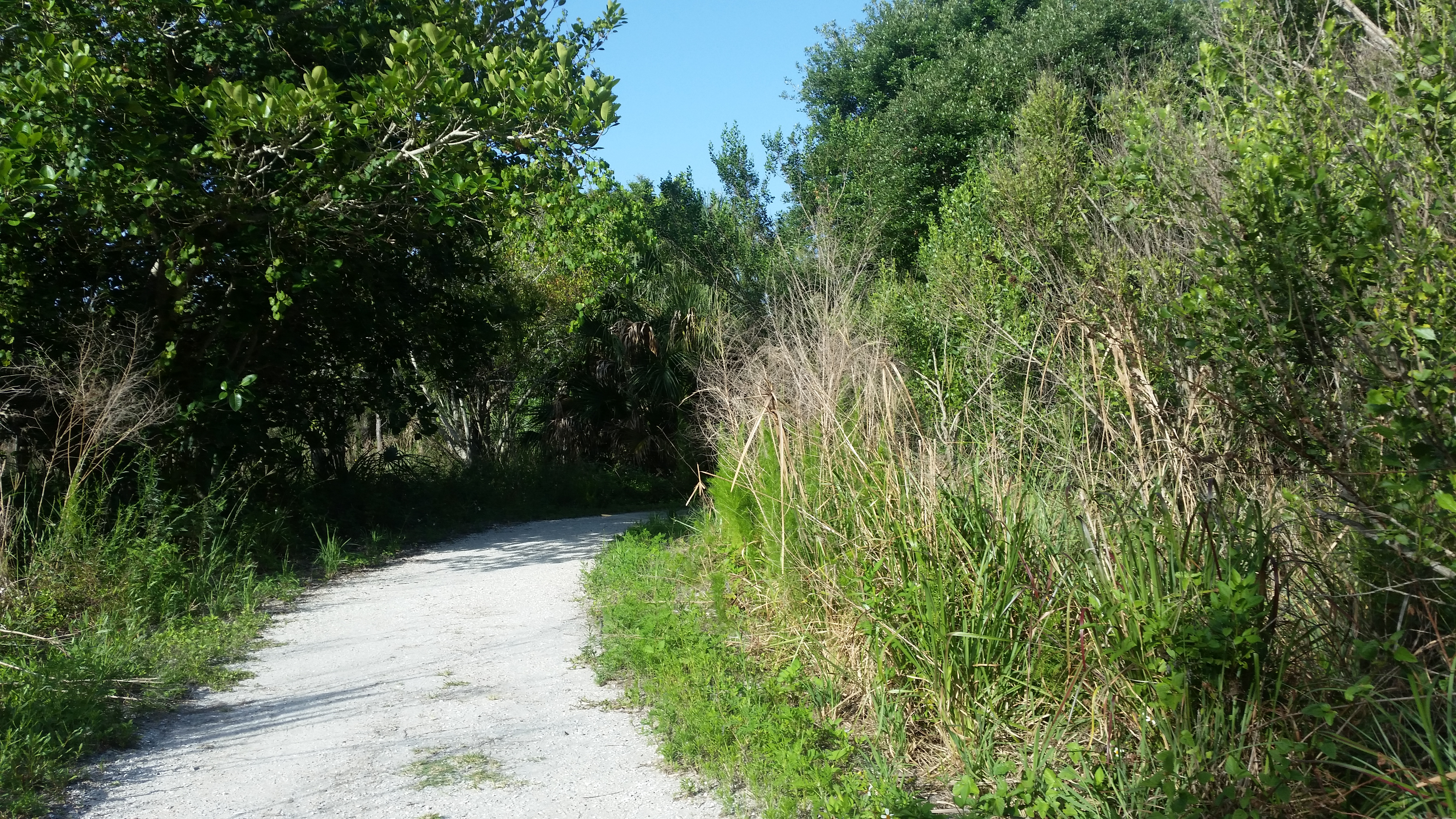
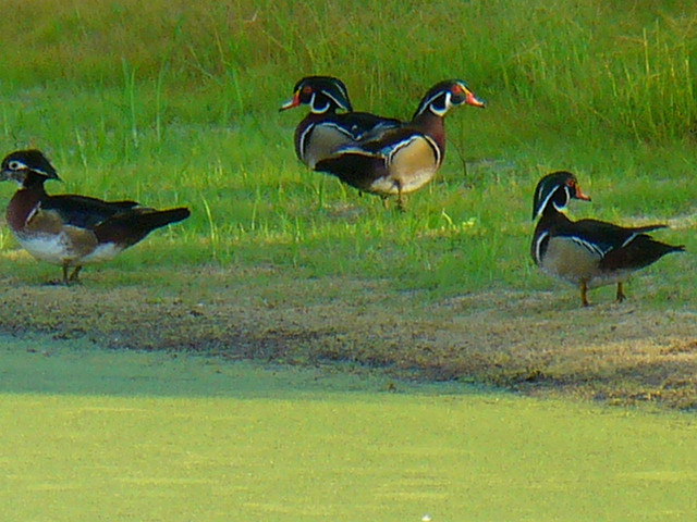
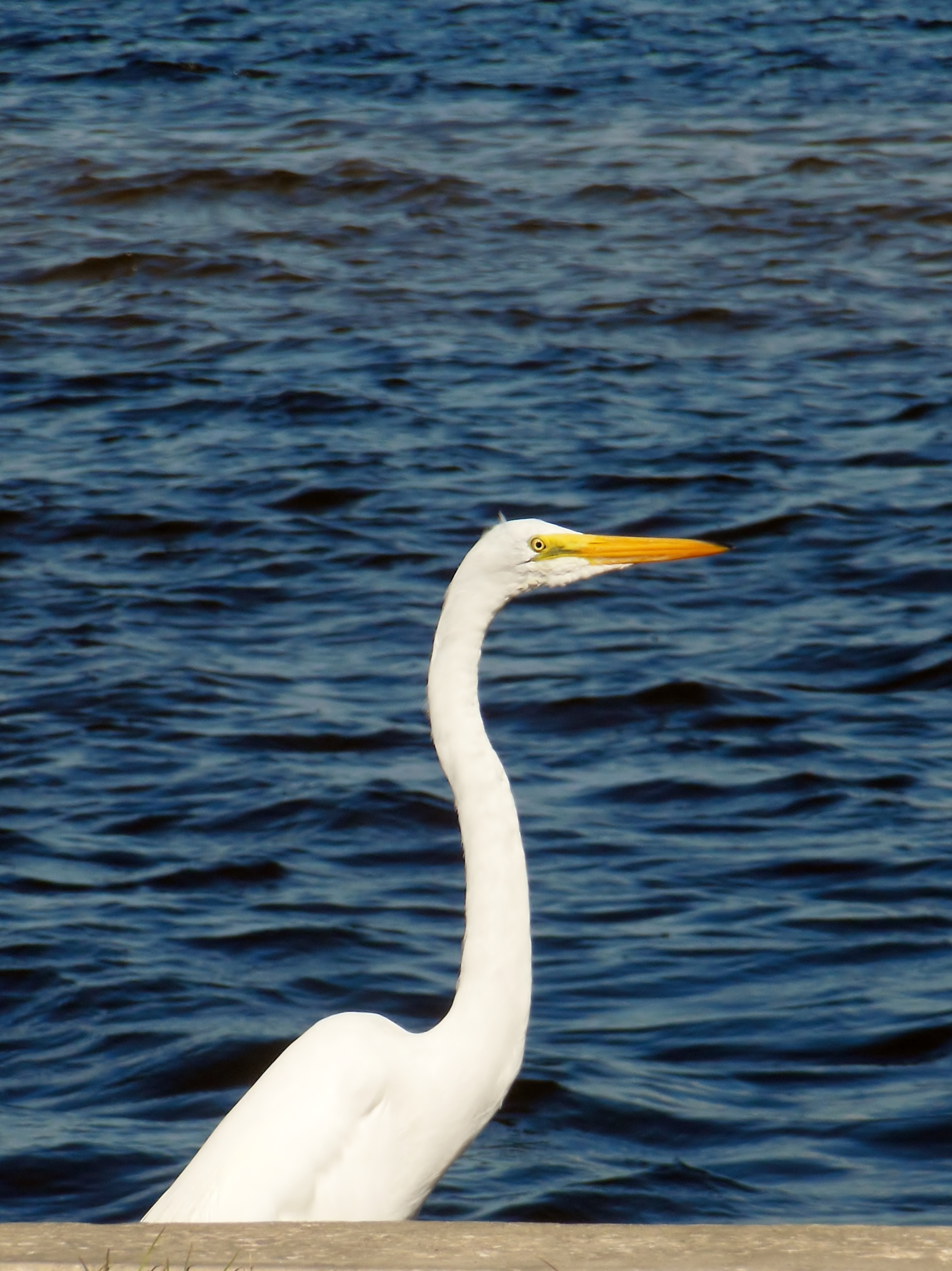
There a many hiking trails, some of which can also be used for cycling. And I noticed a wealth of amazing birds and wildlife. There is also a paved trail that runs along the road through the entire preserve.
The entire route from Lakewood Ranch to the tip of the preserve is about 24 miles – so you are looking at a 48 miles round trip to do this ride. But there are lots of alternatives. Start the trip in downtown Bradenton for a shorter version – it skips all the nasty parts of SR64, and parking at the library is free.
If you are hungry there are a number of great alternatives on the way home. On a previous ride through Palmetto we ate at the Riverhouse Reef and Grill, which we found very good. Just over the bridge in Brandeton, you can stop at Corwin’s for ice cream, or eat at Pier-22 for lunch. Just at the eastern edge of the RIverwalk, lunch at the Tarpon Point Grill and Tiki Bar is one of our standards. With a good lunch inside, the trip home will be a breeze.
My return trip to Emerson Point was well worth the effort. On my original visit, I had only explored the small area near the ranger station and the burial mound. On this trip I discovered just how big and beautiful this park really is. It’s an impressive natural resource, and anybody living or visiting the area owes it to themselves to visit at least once – and leave enough time to explore it in all it’s glory.

