Tuesday April 10, 2012
45 miles (72 km) – Total so far: 191 miles (307 km)
I slept really well in Carpenteria. The hiker/biker campsites back right up against the railroad tracks, and I was afraid the trains would wake me. Apparently the trains run silent at night, because I heard nothing until chirping birds woke me at 7:00. I planned today to be a relatively short day – only about 32 miles. My destination – Lake Cachuma in the Los Padres National Forest.
With such a short ride planned, I figured I had plenty of time. Keeping the blog up to date is a promise that I really want to keep. After leisurely packing up, I rode over to a nearby Starbucks. Sipping tea and munching on coffee cake, I updated everyone on the ride to date. Hmmmm – almost lunchtime. Subway right across the street. Might as well eat lunch before I go. I bought an extra turkey sandwich for dinner later.
Finally, 12:30, ready to roll. I asked the Garmin to find me a route that avoided the busy highway 101. It did a great job as I rode through Summerland, Monticito and Santa Barbara. Less than a mile on the 101, the rest on quiet residential streets with low traffic and nice bike lanes.
Then came the hill. I knew I had some climbing to do to reach today’s campsite. But heck, I had trained for hills, right? I did all those rides in Orange County climbing up Pacific Island Drive, and the Mojeska Grade. I was ready, right?
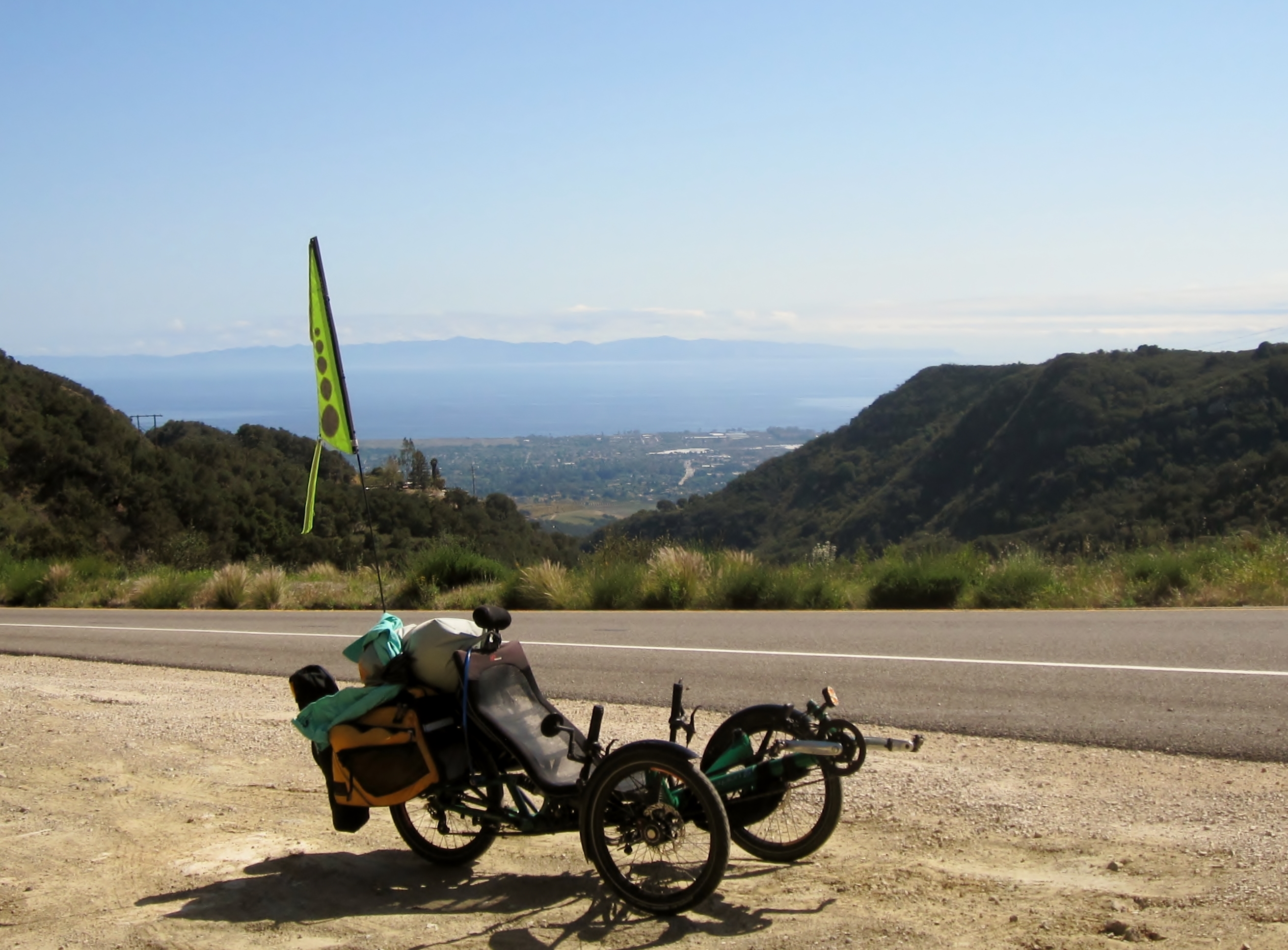
Well, maybe. This was a BIG hill. It went on,and on, and on….for 7 miles from the ocean to 2173 feet. I can climb pretty well on the trike. One of the reasons I’m riding a trike it is because I can climb anything on it. But I don’t climb fast. Those seven miles took almost 2 1/2 hours.
Highway 154 is pretty busy, and is shoulder is only OK. In some places the shoulder was great – plenty wide, but in others it was very narrow. On some of the bridges and overpasses, there was no shoulder at all. Still, I thought this route preferable to riding the busy highway 101.
Finally I reached the summit. Here is where my day’s fun really began.
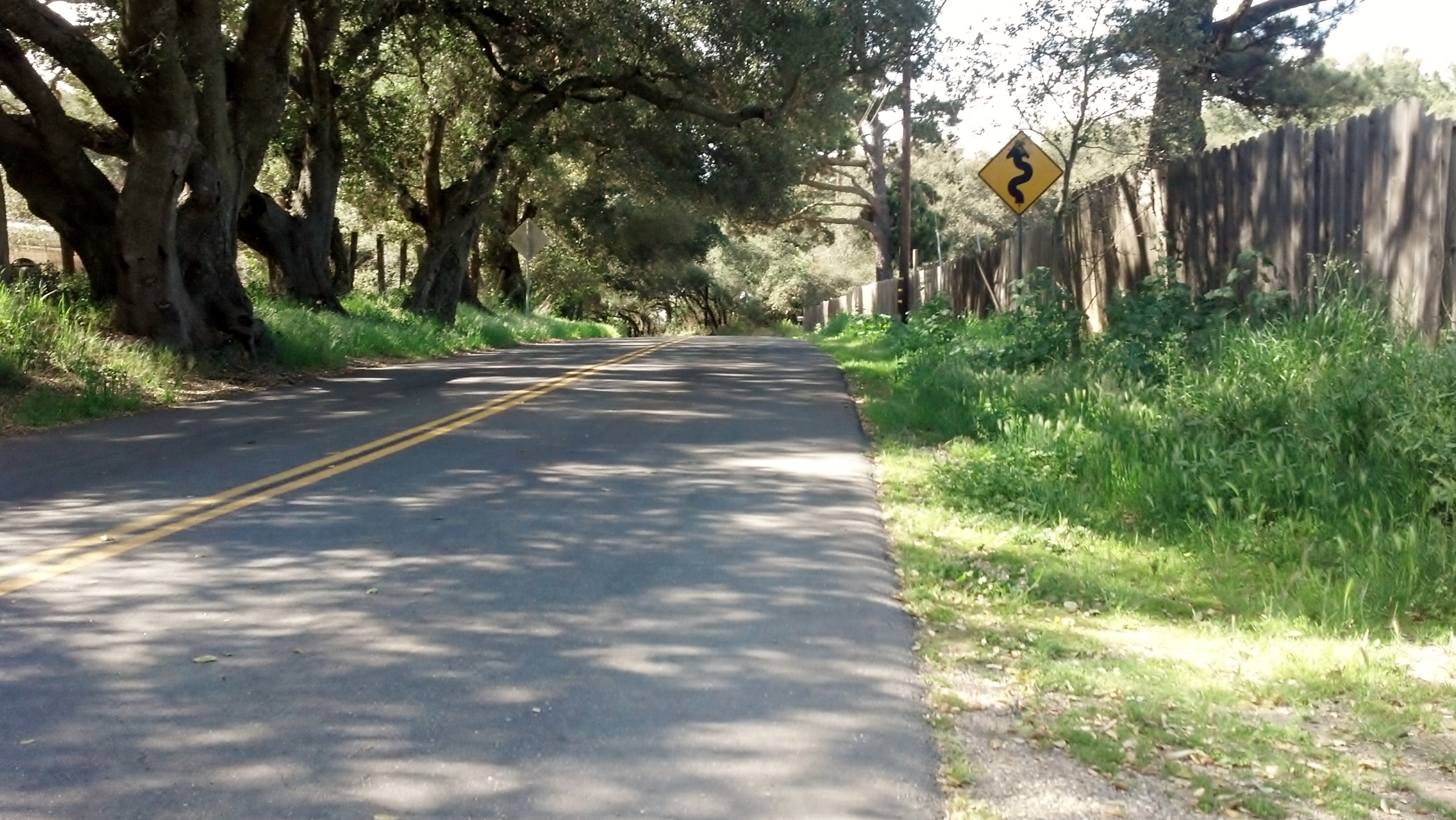
My Garmin, doing what I asked, put me on low traffic streets. Stagecoach Road is a beautiful, very low traffic, road that parallels 154 from the summit down 1500+ feet where it rejoins the 154 just east of my destination. Ahhh, I know this now, but as I was riding I had no real clue where stagecoach road was going.
But, it was a huge thrill to ride! A 4 mile rollicking, roller coaster, descent through dozens of twisty little switch backs. It was an amazing rush to do on the trike, well worth the hours of painful crawl to get to the top.
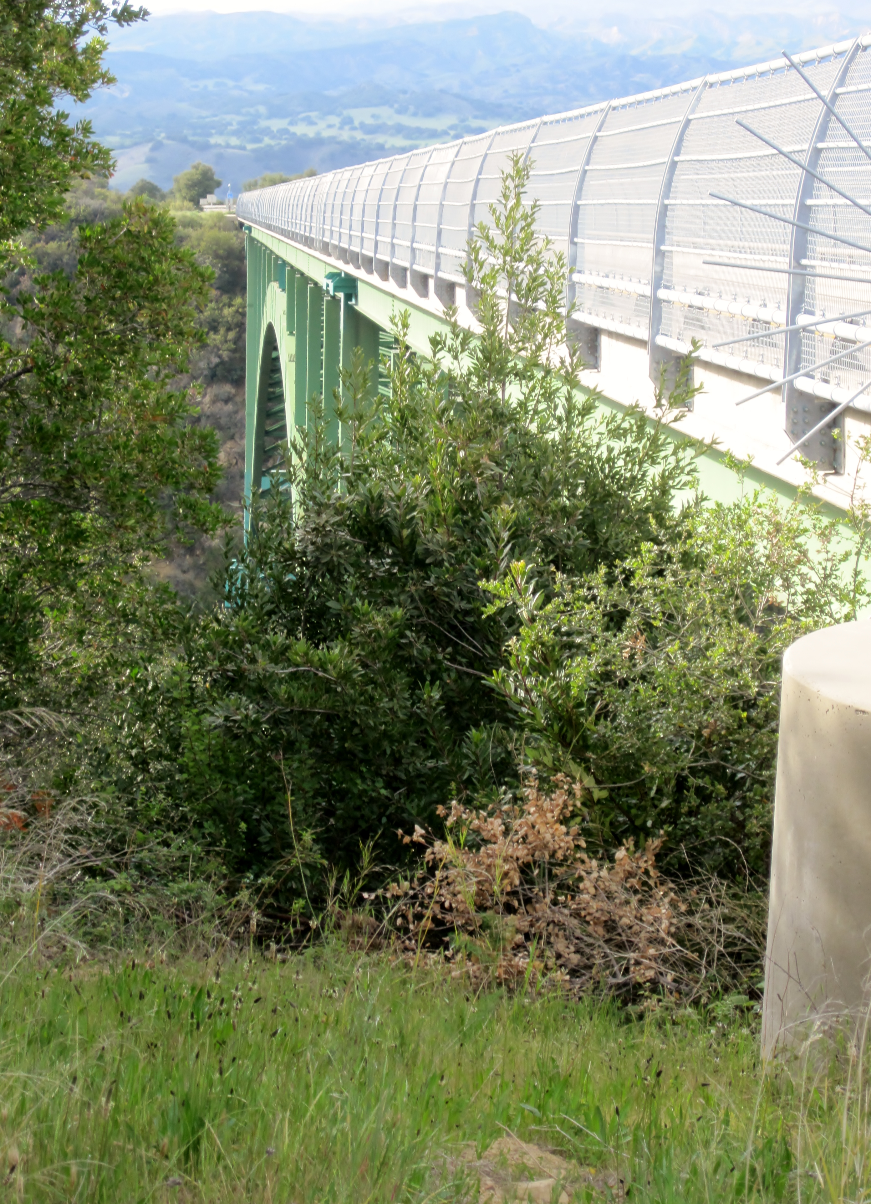
As I was racing down Stagecoach road, I passed under the Cold Spring Canyon Bridge. It as an awe-inspiring sight. I really should have stopped to take a photo, but I was going 35 MPH down a twisty little 2 lane road full of potholes and pine cones. Stopping didn’t really come to mind. So this is an image I found on the web.
This bridge is pretty amazing. It’s one of the longest bridges of its type in the nation, and has won a bunch of civil engineering awards for its beauty and elegance. It also famous because people like to kill themselves by jumping off it. So many people (over 50 in the last few years), that the state has now built suicide barriers to make it difficult to jump off. But that hasn’t stopped them – just recently a middle age woman used a series of several ladders and a cane to hoist herself over the barriers to jump to her death.
As I neared the bottom of Stagecoach road I spotted a sign. “Road Closed – Detour”. OK – off course I go, on streets with no names, streets that don’t seem to appear on google maps, streets that twist and turn and zig-zag around for 2-3 miles before dumping me out on what I think is highway 154 again, but there are no signs, so what do I know?
I’m not sure if this is 154, and if it is 154, I’m not sure which direction I need to go. But left felt right, so left I went. I started to climb. Again. Up. And up and up some more. I went over a bridge. Hmmm – this looks familiar, it’s the the Cold Springs Canyon Bridge that I went under on the way down. I must have passed the campsite on the detour, right?
So I keep climbing. I climb and climb and climb for another hour. I arrive at an intersection. Aaach! It’s Stagecoach Road! I’m back at the summit! I have now climbed the San Marcos Pass twice!
Well, at least I know how to get to the campsite now. It’s the other direction. So I turn around. Another amazing downhill, this time at twilight, on a busy highway with a narrow shoulder. An altogether different kind of rush. I cross over – guess what? – the Cold Spring Canyon Bridge. When I reach the bottom I keep on going.
It’s now starting to get dark. It’s already getting cold. I am seriously tired. And, somewhere along the line, I turned my Garmin off, so I don’t really know how far I’ve gone or how much further it is. To top it all off, it’s now getting really cloudy and definitively feels like it’s going to rain.
This was not my finest hour. I was not reveling in the spirit of adventure and romance of the tour. I was pissed, and tired and pretty frightened. I just kept pedaling. I starting to think about stealth camping – I saw plenty of possible sites…
Finally, up ahead on the right was the sign for the Lake Cachuma Park. I pulled in, registered for a site and got set up just as it got fully dark. I ate the Subway sandwich in the dark while talking to Nancy on the cell phone. I could feel the rain coming.
I had thought long and hard about buying a new tent for this trip. The tent I have worked fine on the last tour, so I decided it would be OK this time too. But it has been sitting wrapped up in a closet for 10 years. Will it still be waterproof? Now was not really the right time to start questioning that decision.
With that swirling in my mind, and the difficult ride behind me, I crawled into the tent as was asleep in minutes. I was awakened several hours later by the sound of rain and thunder. It grew steadily louder as the rain came harder. By 2:00 AM it was really pouring! Thankfully, the tent worked fine and did not leak. I stayed dry. After I realized I wasn’t going to need to bail, I went back to sleep, and slept soundly until morning.
Not a great day – but one that I will certainly remember for a long time to come!