Wednesday April 18, 2012
28 miles (45 km) – Total so far: 314 miles (505 km)
I awoke at Kirk Creek early. My schedule has shifted to coincide with the sun since I started this ride. I wake when it rises, and I go to sleep when it sets. It feels very natural to me, and I sleep really well.
It didn’t rain last night, but it might as well have. A very heavy dew covers everything. The rain fly, the bike cover, and the ground cloth are all completely soaked. If I pack it up this way, then my tent will be wet tonight when I unpack. Best to let things dry out a bit before I go.
My intention for today is to get to Monterey. It’s a pretty long ride – about 70 miles. If I’m going to make it, then I need to get an early start. If I wait for everything to dry properly, I’ll need to push pretty hard to make it before dark.
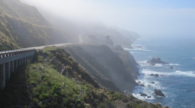
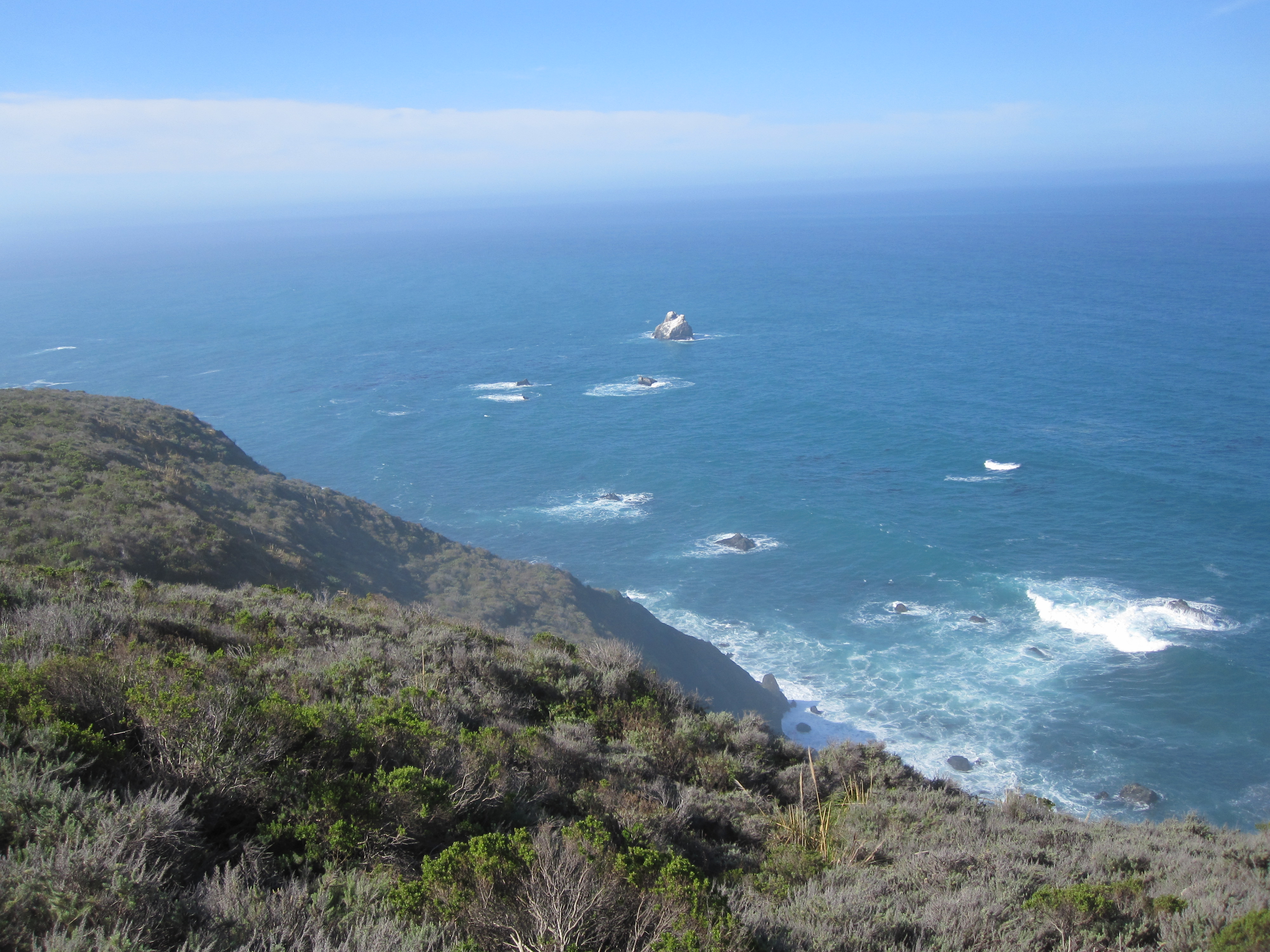
Wait a minute! I’m about to ride through the best part of the California Coast. Today I’m going through Big Sur! Do I want to be pushing hard? Rushing to get it behind me, just so that I can camp in a city park in Monterey? No way – I want to fully enjoy this ride, and get the most out of Big Sur!
Out come the maps. In short order I can see that a nice 28 miles ride takes me to the Pfeiffer Big Sur State Park, just north of the town of Big Sur. That’s the ticket! Change of plans and I’m set to do a great ride in Big Sur.
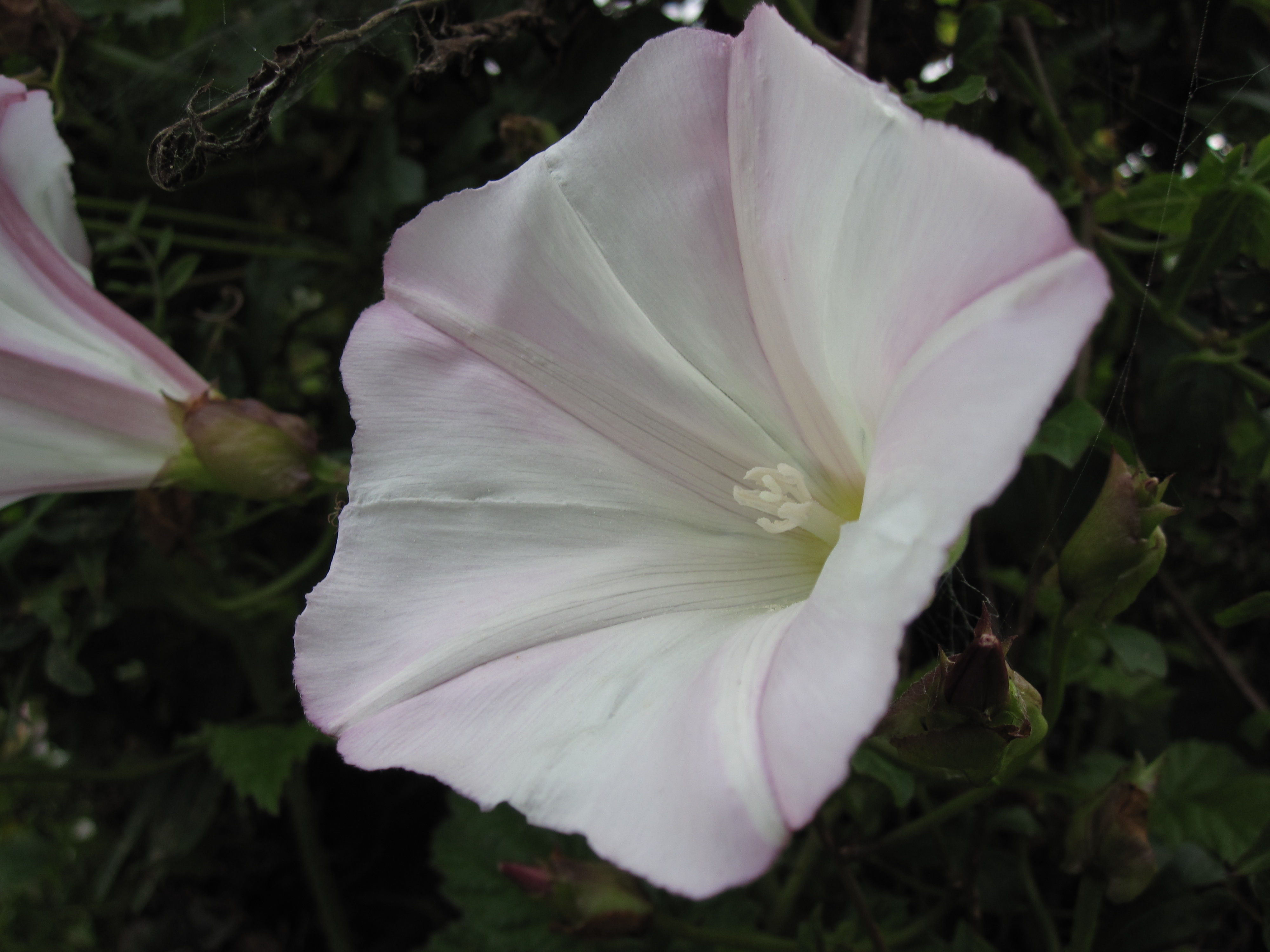
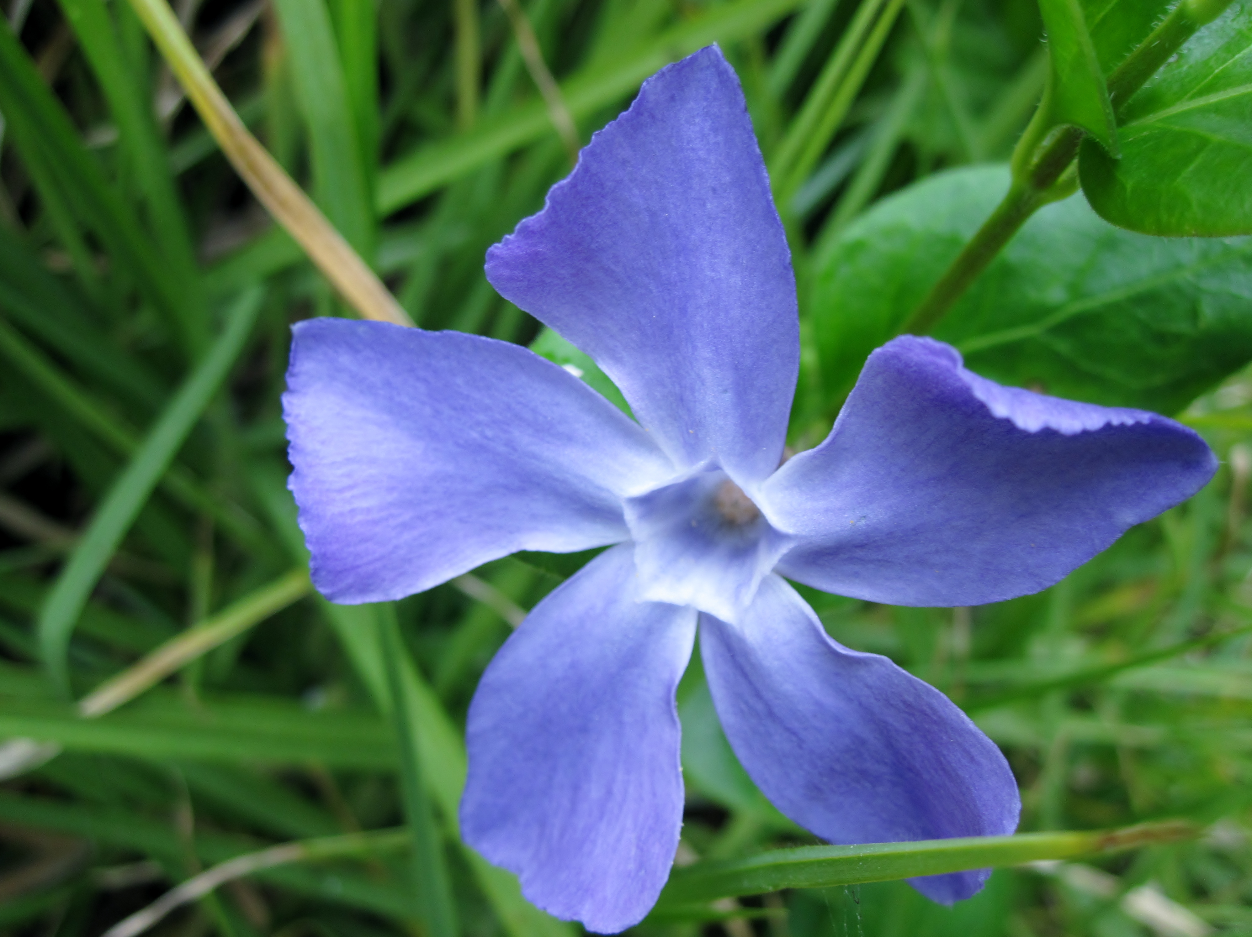
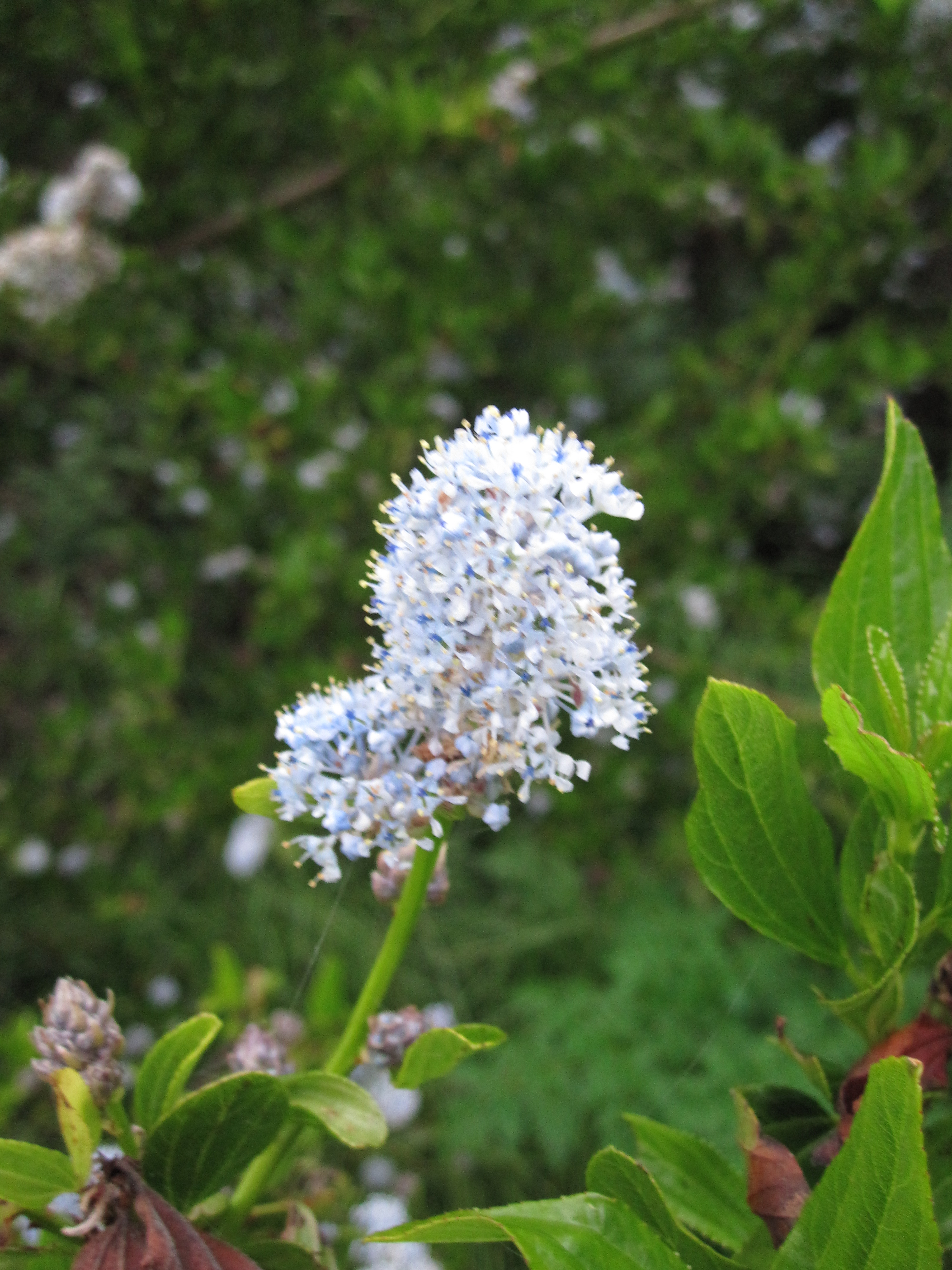
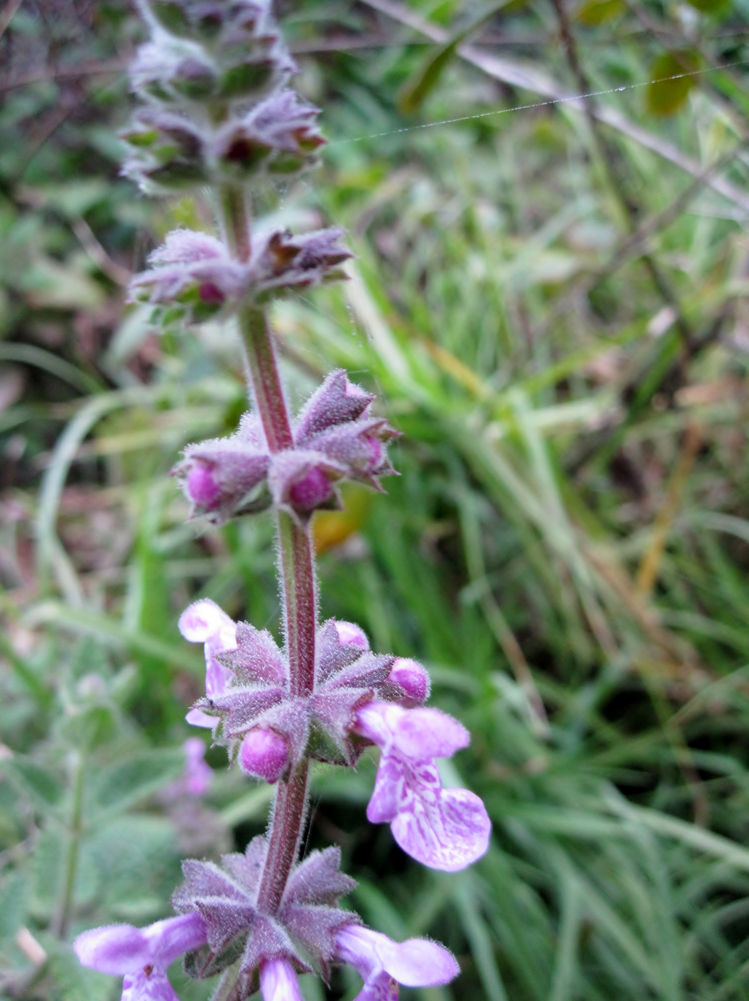
While my stuff is drying out, I stroll around the campground. The amazing quantity and variety of wildflowers catches my eye. So here are some obligatory wild flower photos – enjoy.
Happily, the raccoons did not figure out how to get into my food locker. But their little footprints are all over it, and the end of the equipment tie looks as though it has been gnawed on a bit. I break out my food. For the first time on this trip I use my camp stove to heat up some tomato soup. Hot soup, peanut butter, an apple and leftover cookies from yesterday. Breakfast of champions!
My stuff finally dry, I finish packing up and head out to discover Big Sur. Exiting the campground – I wave goodbye to Sarah and Dave. Will I see them again? Will they make it back to their car in Monterey? Who knows! My hopes for a successful trip go out to them.
The road immediately descends toward Limekiln – and a big construction project over the bridge near the Limekiln State Park. Traffic is halted in both directions while they do construction on the bridge. They are alternating – some construction work, traffic in one direction, a little more construction work, then traffic in the other direction. I wait there for 45 minutes until finally I am allowed to pass.
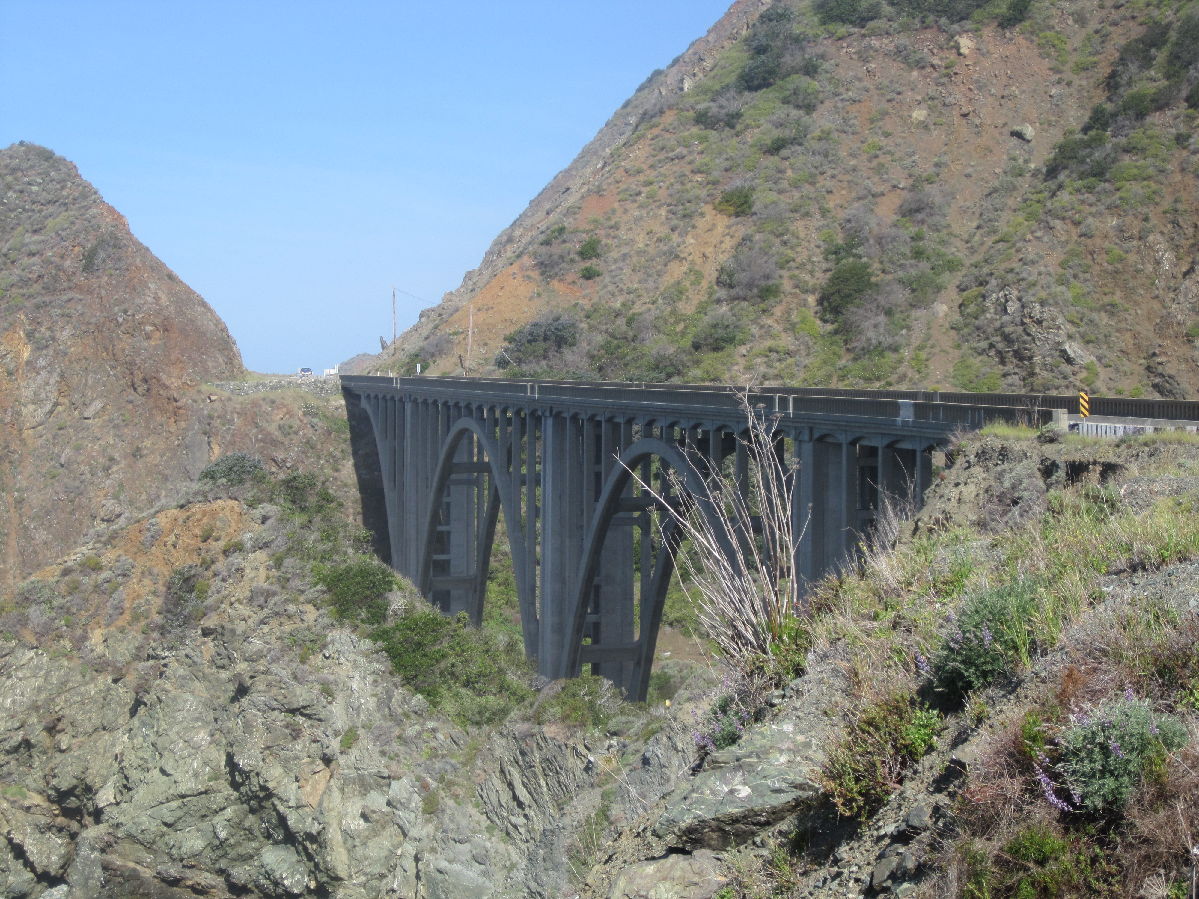
The road rambles up and down, steep and twisty, much like yesterday. The rivers here are much larger, and have cut canyons into the sides of the hills. To construct highway 1, it was necessary to build, and now keep up, bridges over these canyons. The bridges are all beautiful, and great fun to ride over, but I wonder at the long-term cost of maintaining them properly.
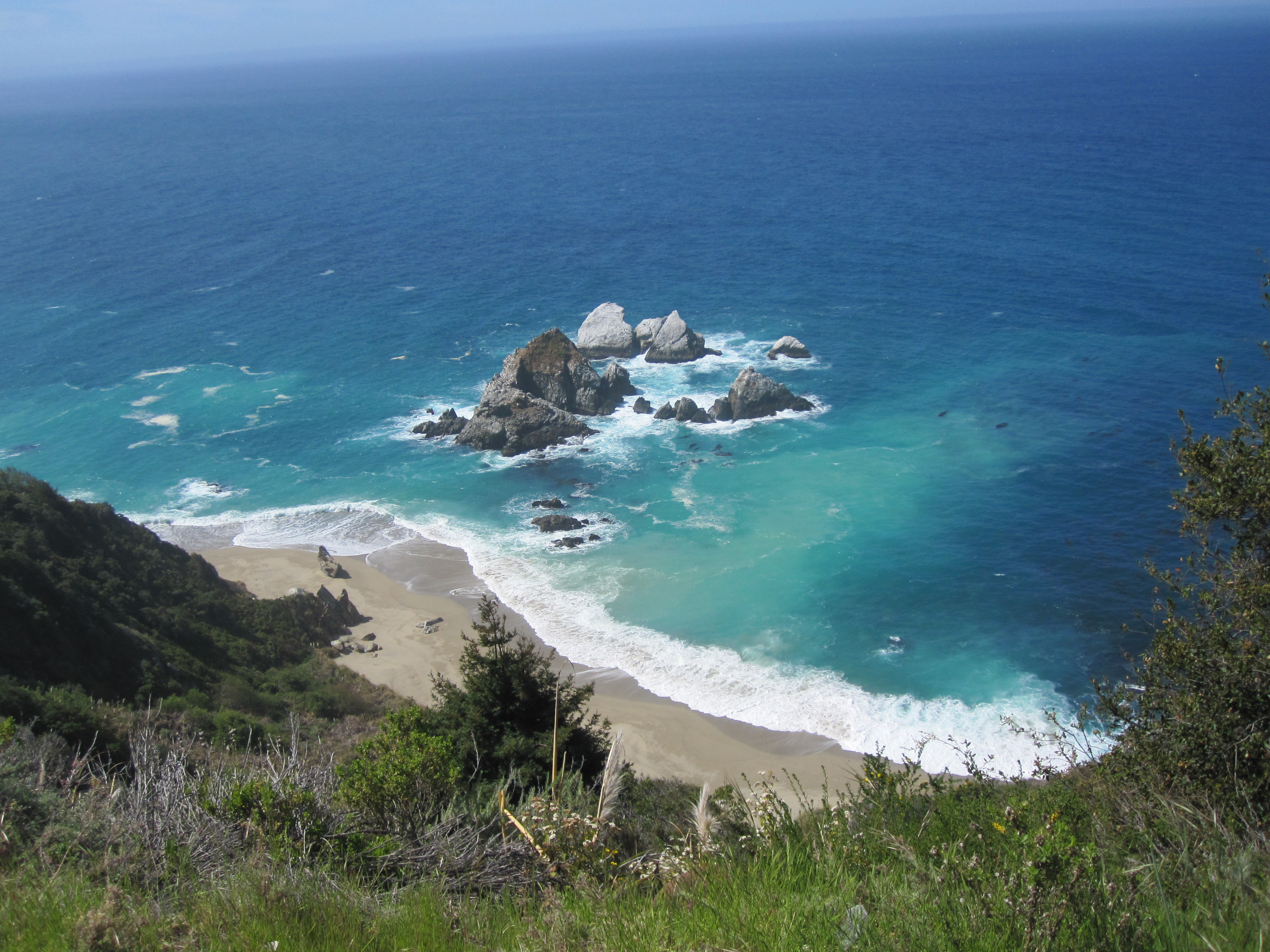
The scenery is so spectacular, that I find myself stopping over and over to take photos. Progress is decidedly slow.
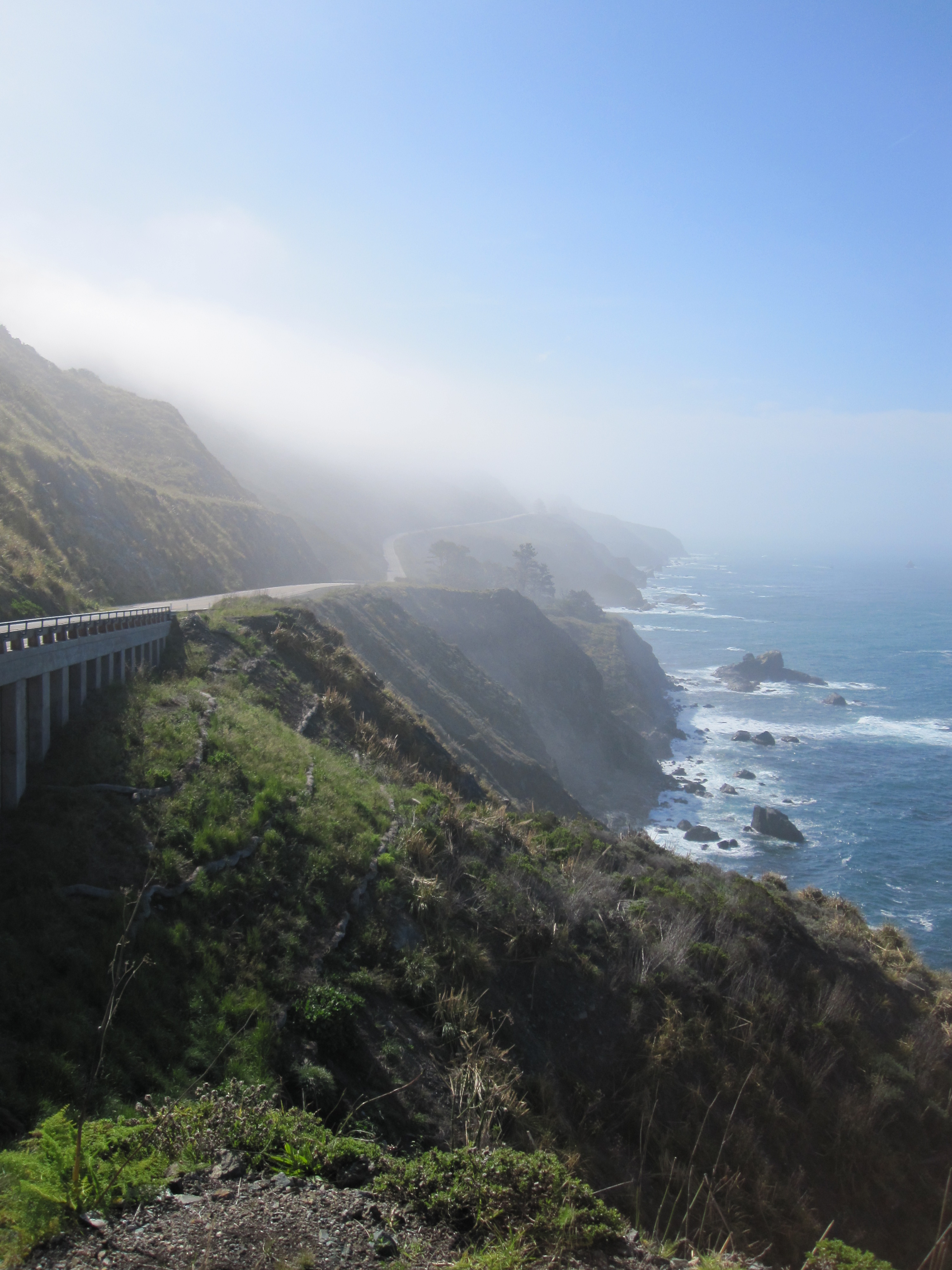
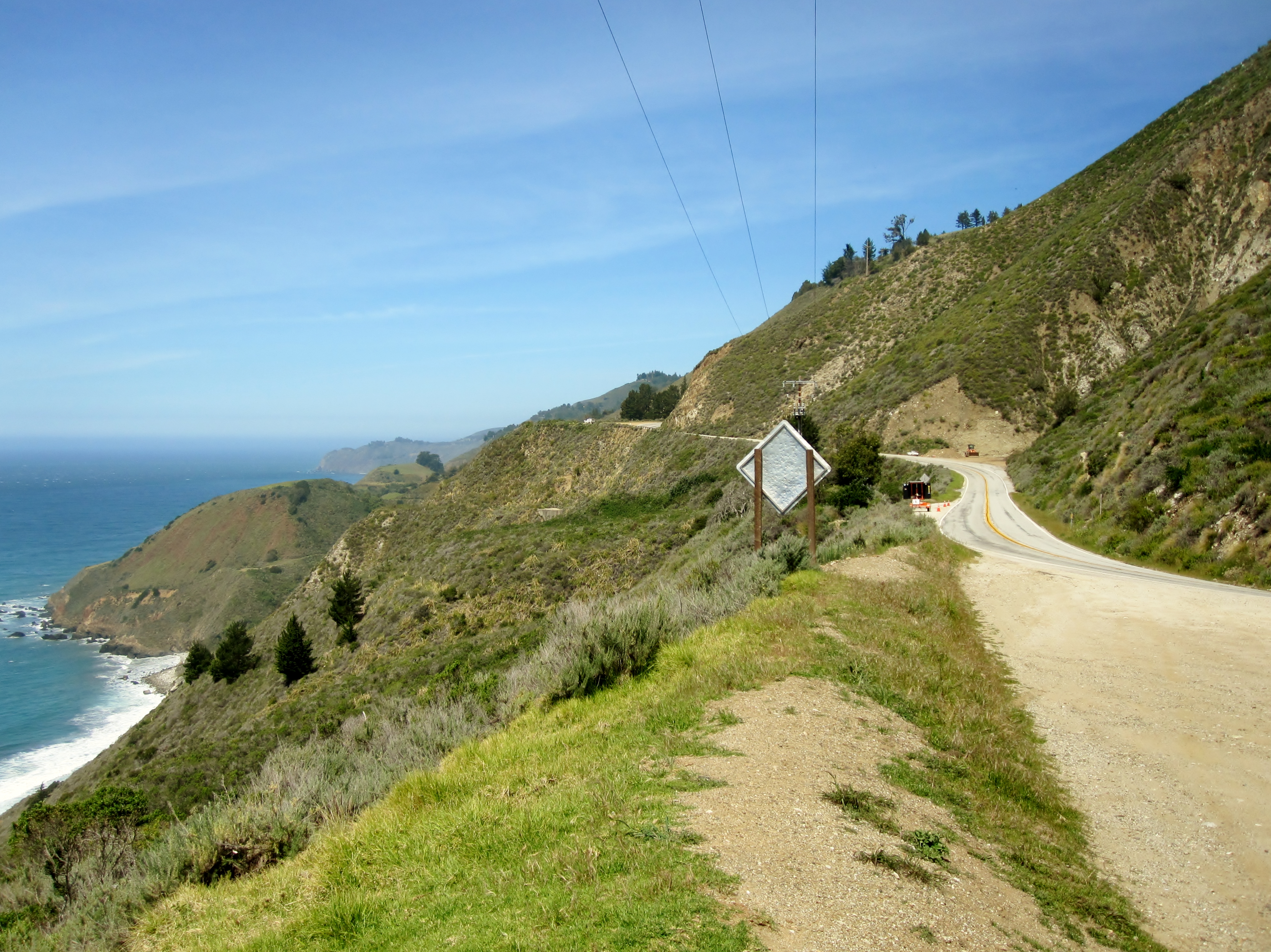
The Cycling The Pacific Coast guidebook calls the shoulder on this stretch of highway “whimsical”. I didn’t understand that description until now. Sometimes there is a normal shoulder – 3 or 4 feet wide, basically adequate. Other times, the shoulder is 12 feet wide. Sometimes it is even wider than the traffic lane. Sometime there is no shoulder at all. Mostly there is a shoulder just wide enough for my right tire. The transitions between these different shoulders is very abrupt and arbitrary. The 4 foot shoulder just disappears with no clear reason, only to reappear a quarter-mile later six feet wide. But the traffic is very light so the shoulder does not concern me much, except to make me wonder about what kind of planning process resulted in this weird patchwork of shoulders..
Something else about the road does concern me. The corners on Highway 1 in this stretch are banked very steeply. On the trike, I often find myself tilted significantly to one side going around the corners. On very sharp turns, it is so steep that I worry about the trike turning over. I find it necessary to lean hard in the opposite direction. This is a pretty uncomfortable position, and makes for some challenges. Needless to say, peddling up a steep grade in very low gears, while tilted heavily to one side, learning my body hard to the other side, is strenuous. And very slow,
Hmmm – delayed getting out of camp because of the heavy dew. Long delay at the bridge construction site. Constantly stopping to take photos. Weird, tilted riding position as I crawl up the hills. It sure is a good thing I’ve decided for a short day today, because I would never have made Monterey before dark at this pace!
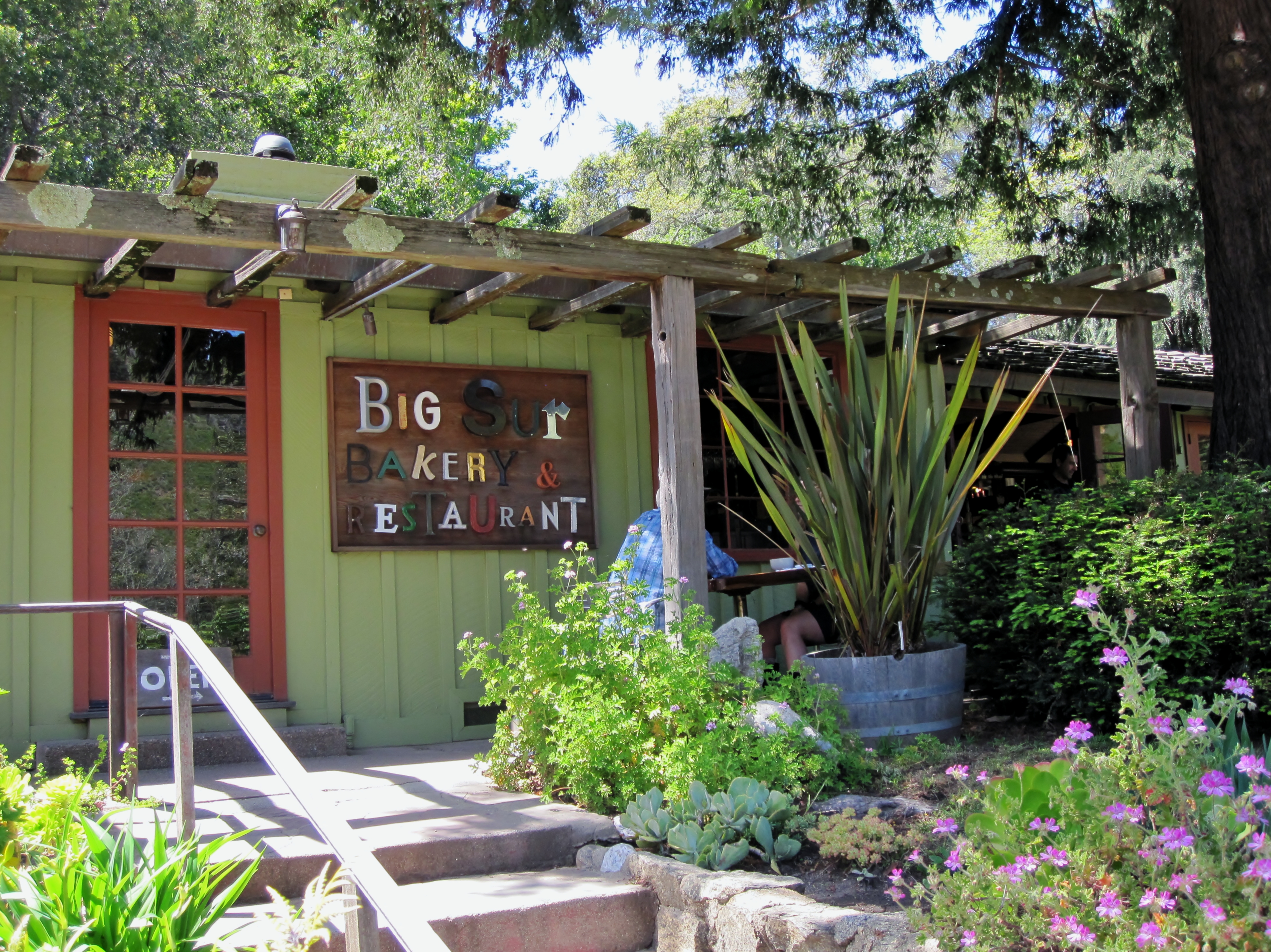
The last climb before the town of Big Sur is a doozy! The longest and steepest I have met on Highway 1 so far. This is not so much a wilderness now as the last miles have been. People live here – I see houses, then a library. Some restaurants and finally a little store! Lunchtime! And they have cell coverage here! Back in touch with Nancy.
After lunch, it’s just a 10 minute roll down the big hill I just climbed, and I’m into the Pfeiffer Big Sur State Park. I’m getting to be an old hand at this now – Hiker/Biker registration, go pick out a camp site, I’m unpacked and settled in.
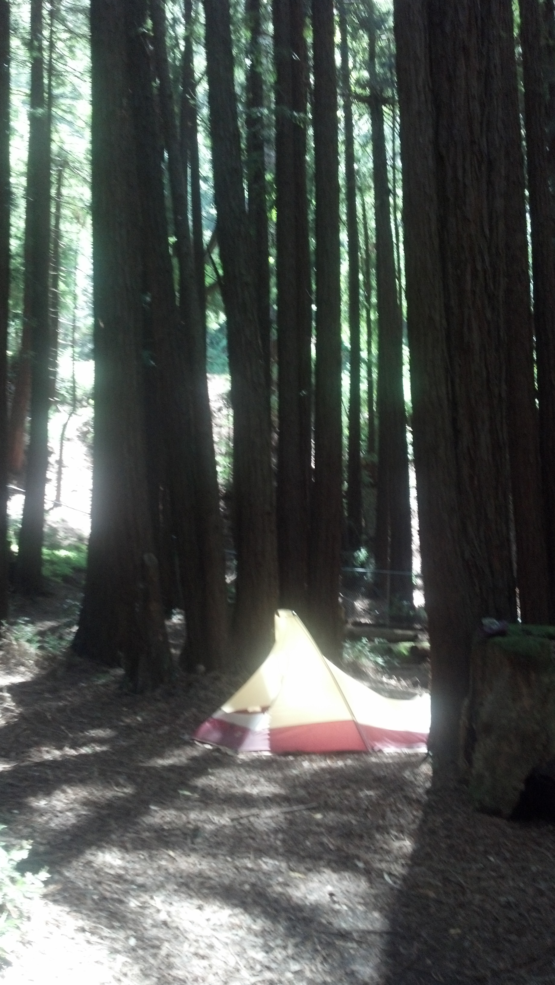
This is a very different campground than Kirk Creek. Still beautiful, but a very different vibe. It’s on the east side of the highway, along the shores of the Big Sur River. The Hiker Biker camp sites are nestled in among a grove of towering redwood trees.
I head out to explore a bit. I walk up along the banks of the river to Pfeiffer Falls – a small waterfall just a little ways from the park entrance. I sat on a rock and dipped a toe into the water – seriously cold!
Back at camp, I spend some time admiring the redwood trees. They are impressive.
The campground has many amenities – electricity, hot showers, a camp store, even a restaurant!. The camp store is a real treat – I stroll over and buy a cold beer. I have no way to keep anything cold on the bike, so this is a special treat after a bike ride! Then a hot shower, and I eat my dinner in camp. The hiker/biker site is full tonight. It’s a friendly crowd and we chat together and share stories from the road.
Tomorrow is my last day in the mountains. I’ll be descending down into the Monterey Peninsula tomorrow as I continue my journey north…